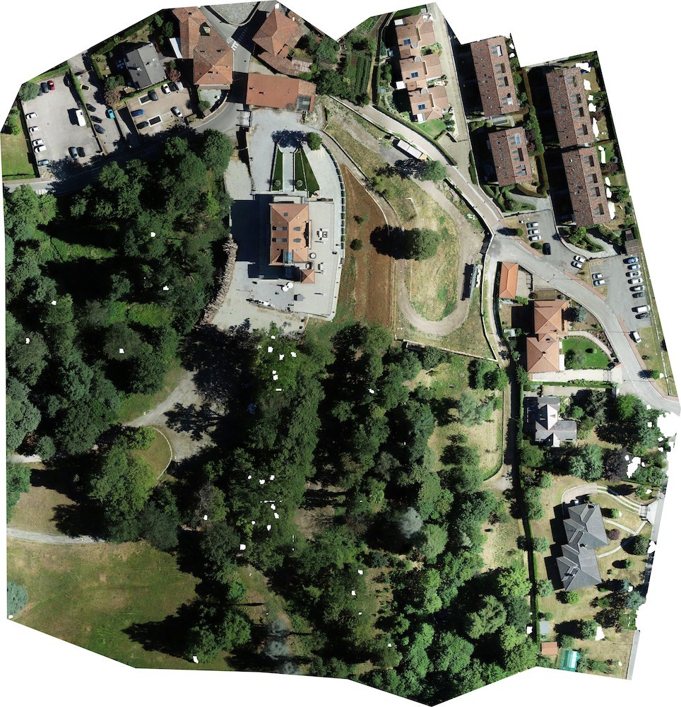
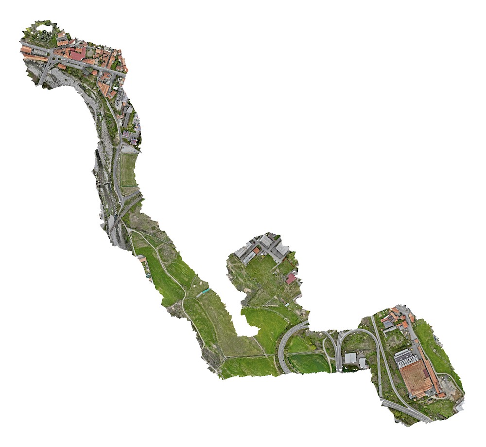
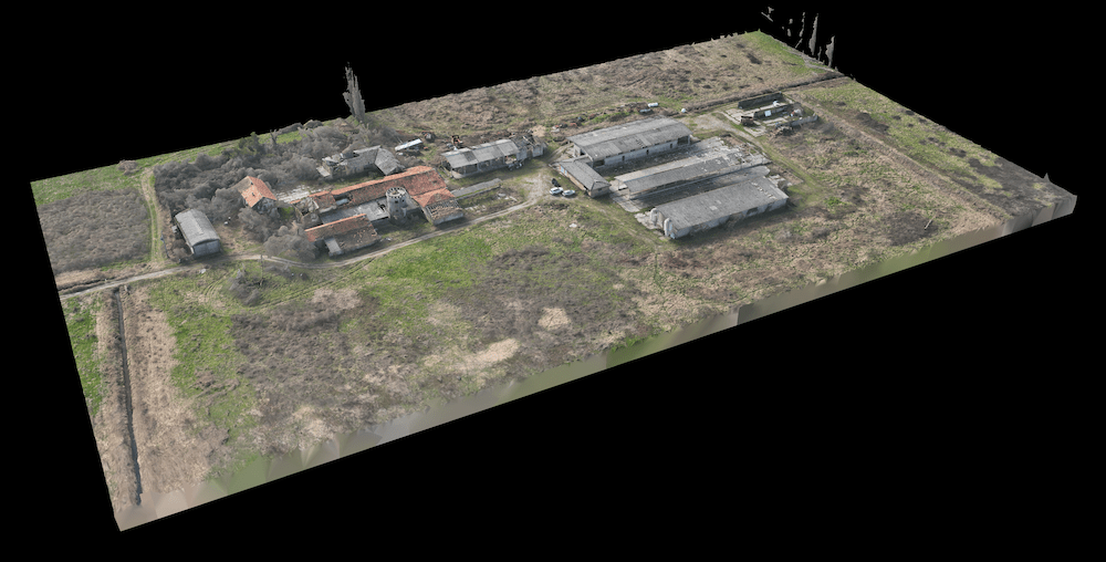
Drone-Based Topographic Surveys

Land, Territory, Quarries, Cadastre

Selected Projects

What problem do we solve?

The need to accurately understand the shape, elevations and dimensions of an area.

When you have to design, build, calculate volumes, verify slopes or compare existing conditions with a project, approximate or purely visual data is not enough.

Whether it’s land plots, development areas, quarries, construction sites or large territories, reliable decisions require objective, measurable and verifiable data.

A professional topographic survey provides a clear and precise representation of the terrain, usable today and still reliable tomorrow.

What do we do?

Our office takes care of everything:

  • We collect and analyse the client’s requirements to plan a targeted survey, both for the on-site operations and for the data processing phase;
  • We schedule the date and time of the operation;
  • We manage any required flight authorisations (Prefecture, Airport Authority, Civil Aviation Authority, etc.).

How do we work?

Dasù, Icona, Computer

Our office takes care of everything:

  • We collect and analyse the client’s requirements to plan a targeted survey, both for the on-site operations and for the data processing phase;
  • We schedule the date and time of the operation;
  • We manage any required flight authorisations (Prefecture, Airport Authority, Civil Aviation Authority, etc.).
Ufficio Dasù (Milano)
Rilievi Catastali con Drone
Dasù, Icona, Drone

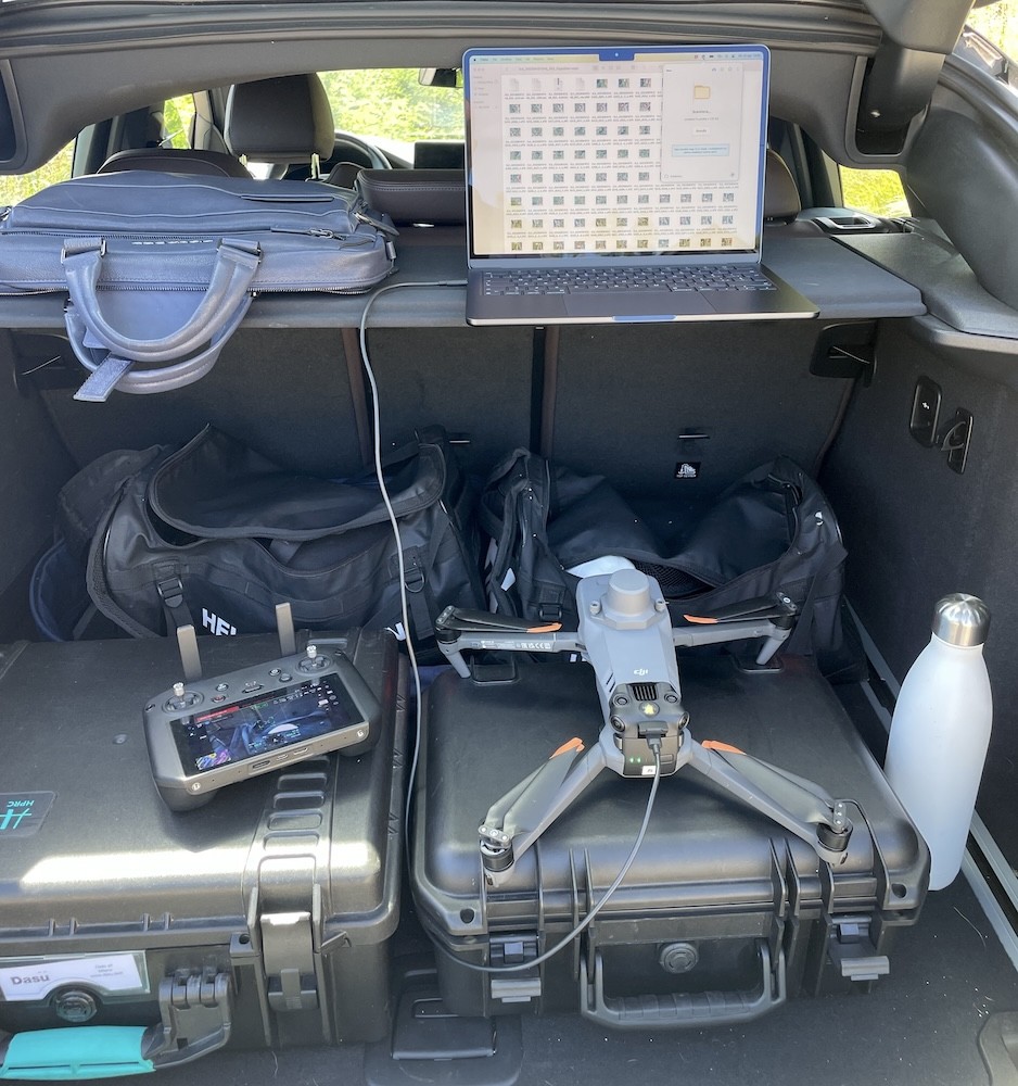
The drone collects complete, measurable data:

it captures thousands of high-resolution images, RTK-georeferenced for maximum accuracy,

and objectively documents the site and its surroundings.

Dasù, Icona, GNSS

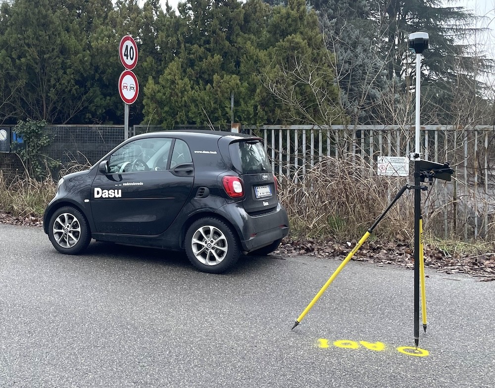
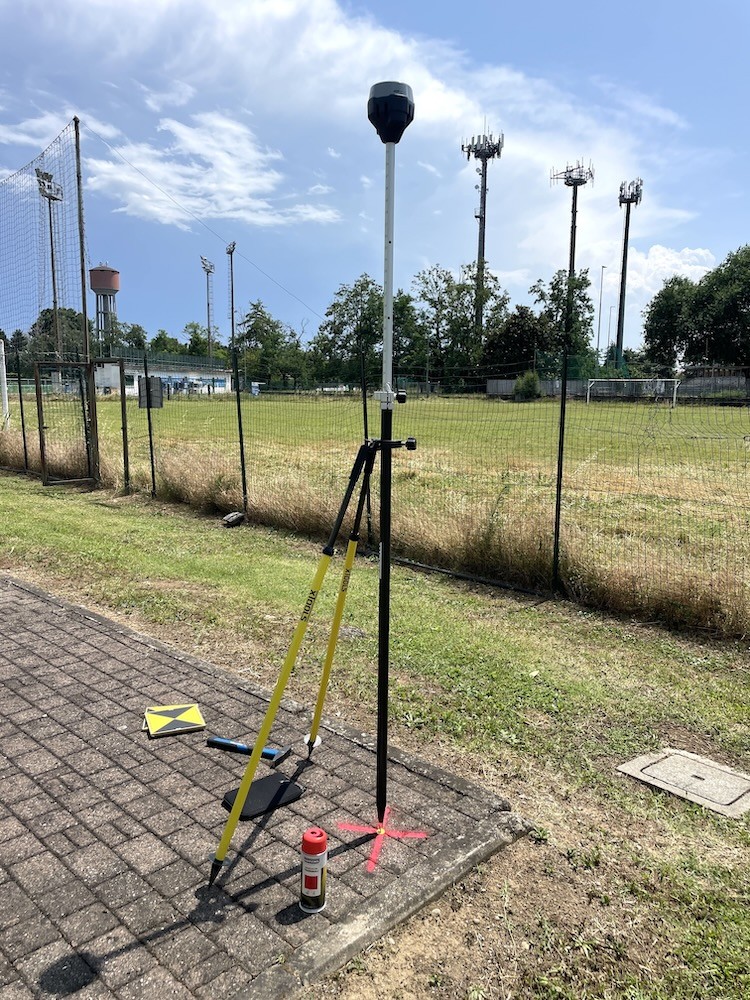
Ground control points are surveyed using a GNSS station:

the satellite system provides accurate and reliable coordinates, essential to ensure proper georeferencing and accurate data processing.

Assistenza Topografica con Drone (Peschiera Borromeo - MI)
Rilievo Topografico Fotogrammetrico, con Drone e Laser Scanner
Dasù, Icona, Laser Scanner

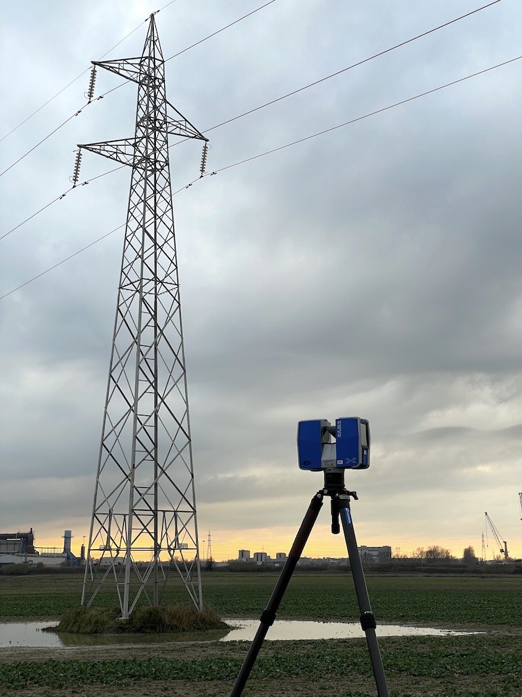
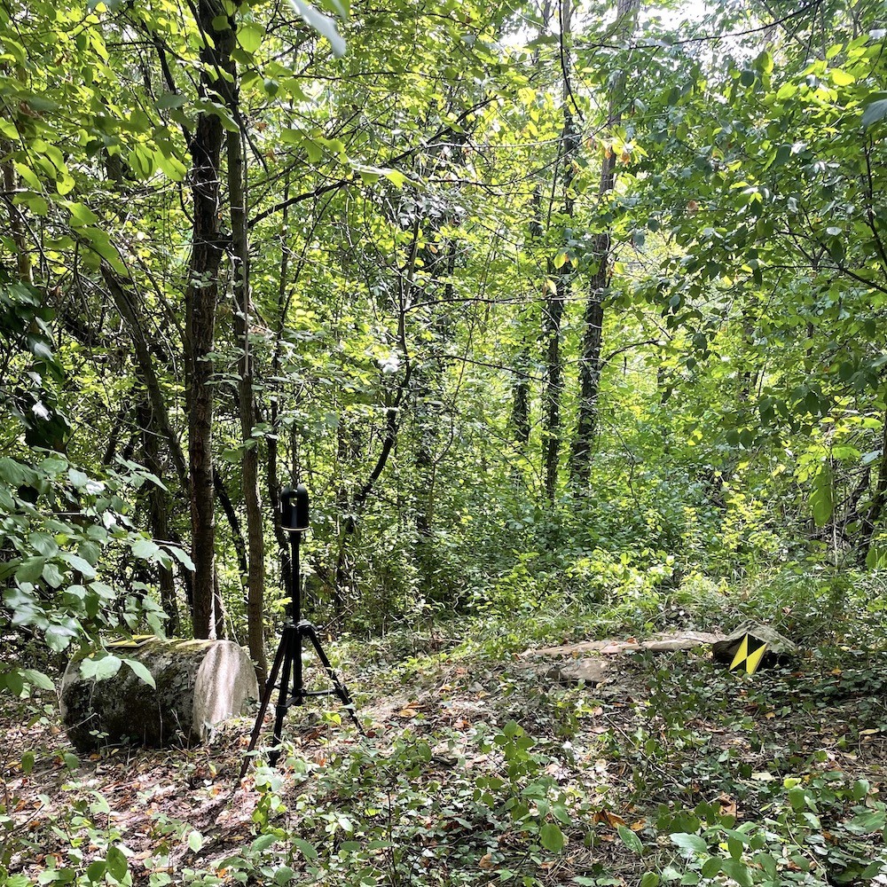
When required, the survey is integrated with a Laser Scanner:

it is essential to capture positions, clearances and heights of complex elements (such as power pylons and overhead lines) or to survey areas not visible from the drone, like woodland or obstructed zones.

Rilievo di una porzione di Bosco con Laser Scanner (Trisobbio - AL)
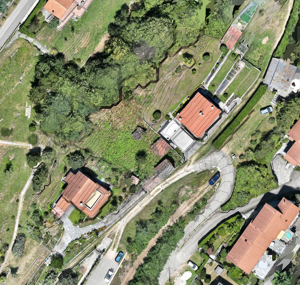
Rilievo Topografico di Terreno e Terrazzamenti tramite Drone (Laglio)
Dasù, Icona, Elaborazione Structure from Motion

All collected data is processed in our office, to generate accurate digital outputs:

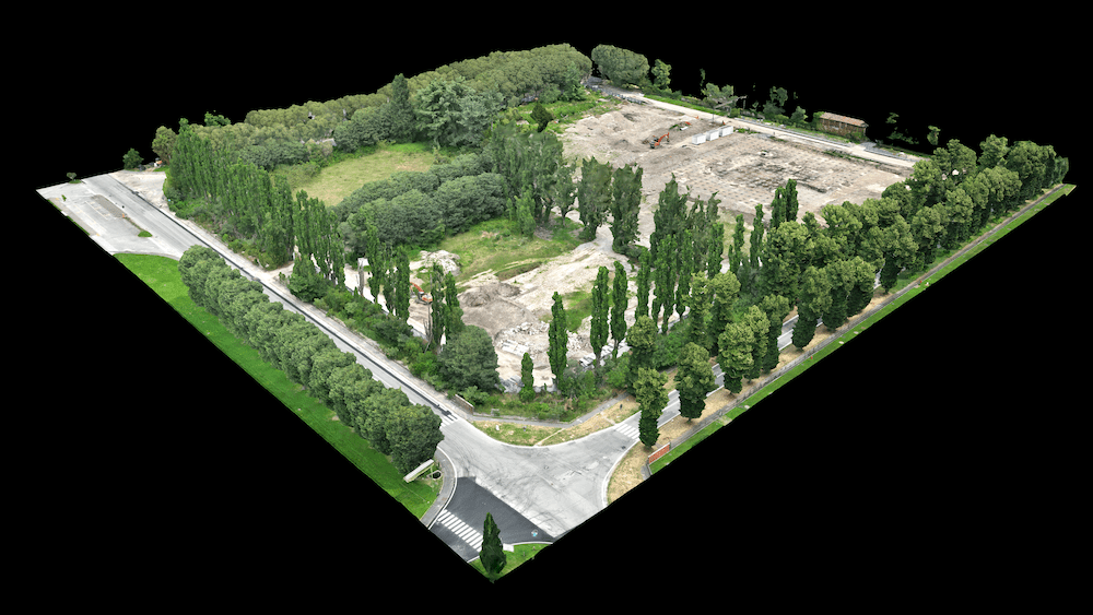
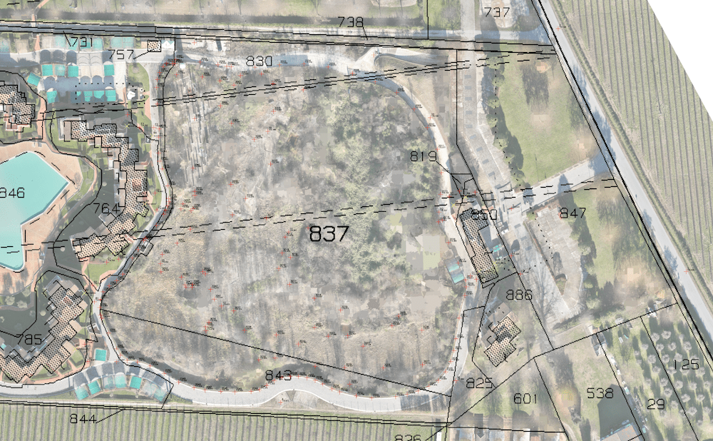
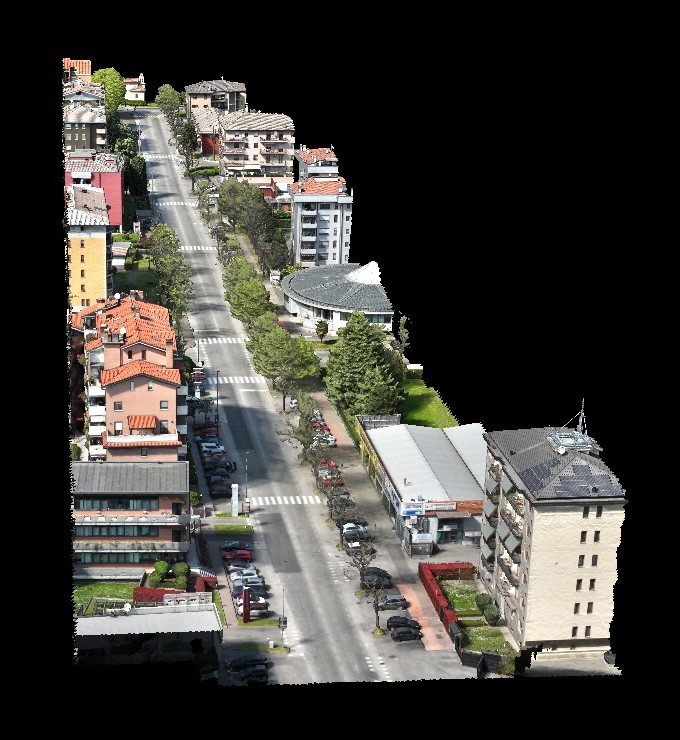
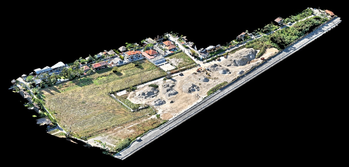
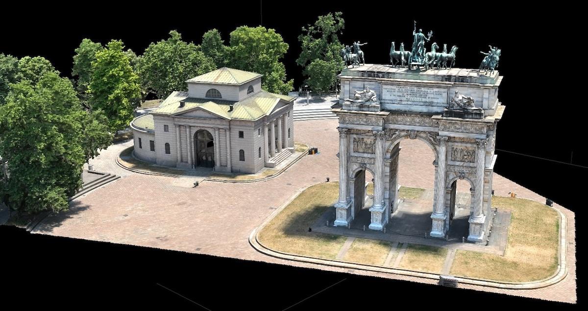
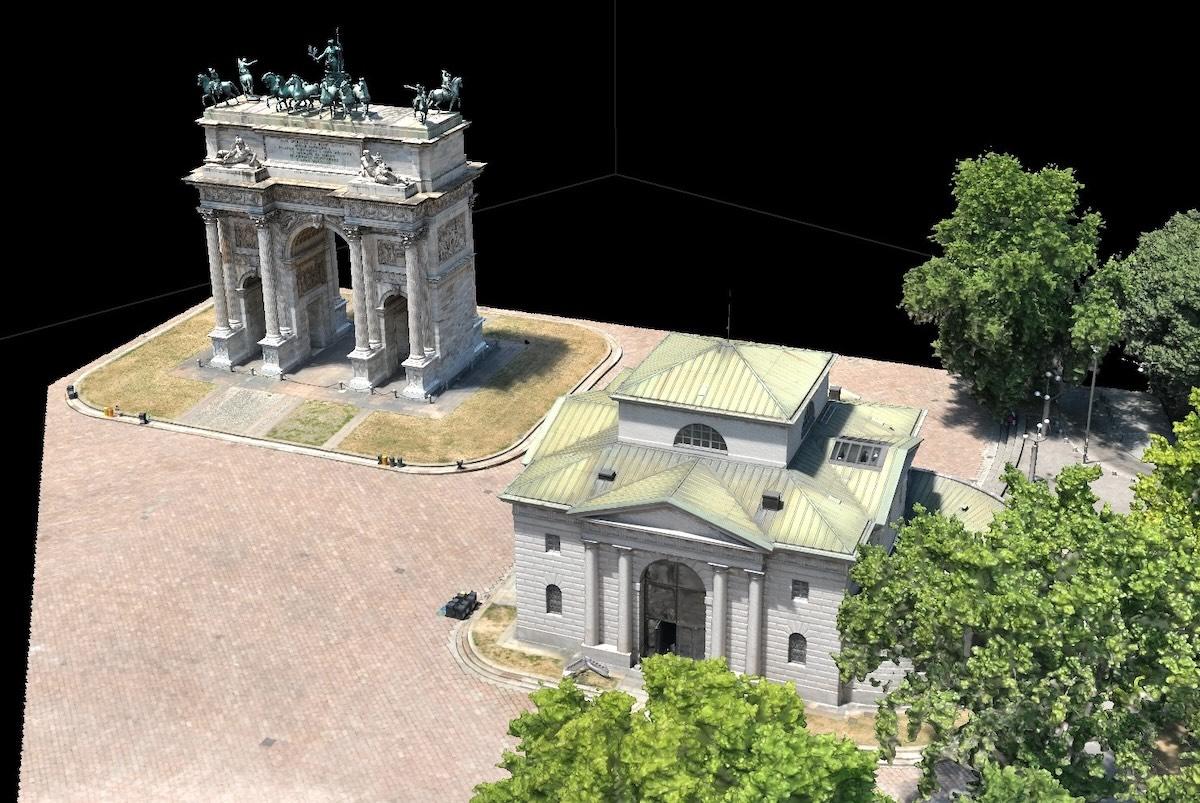
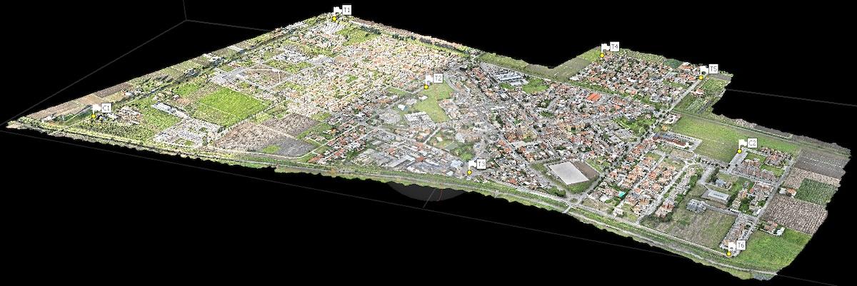
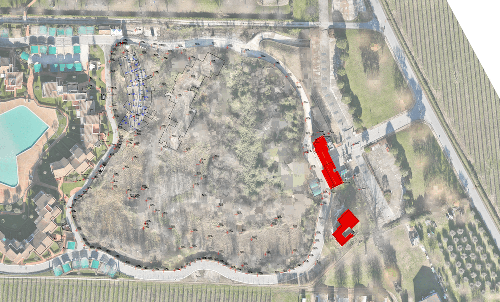
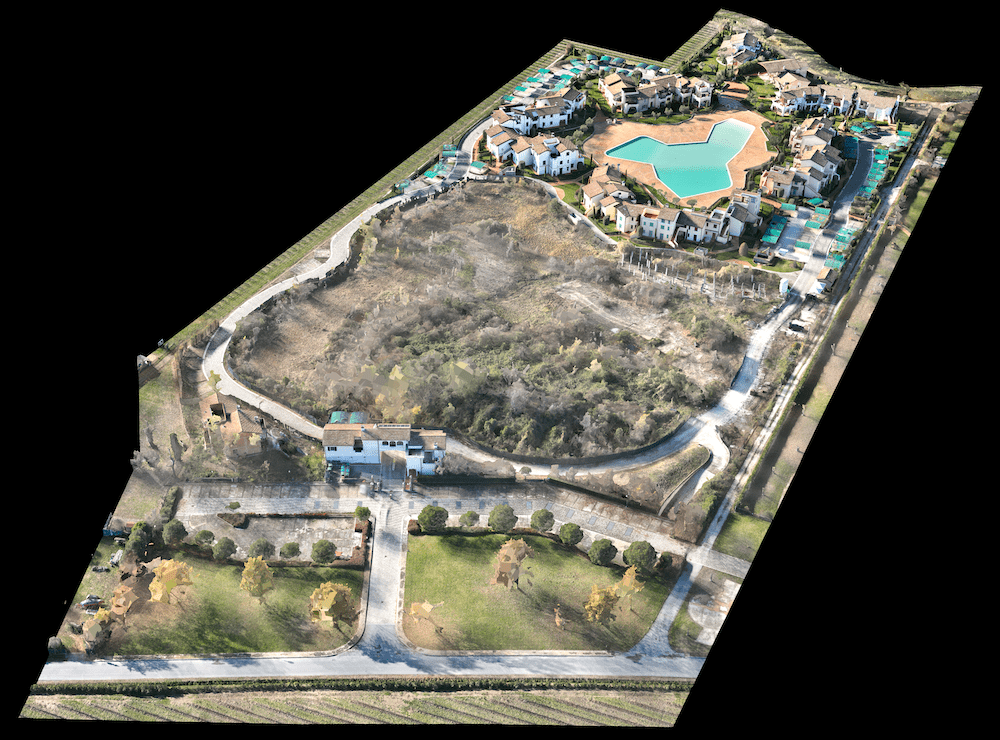
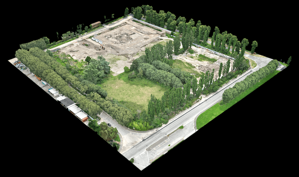
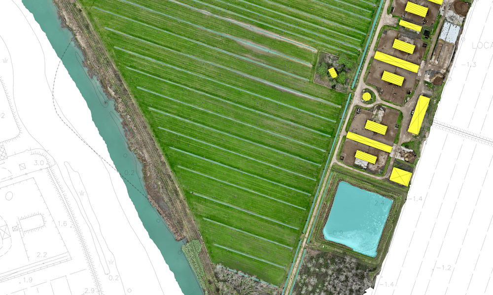
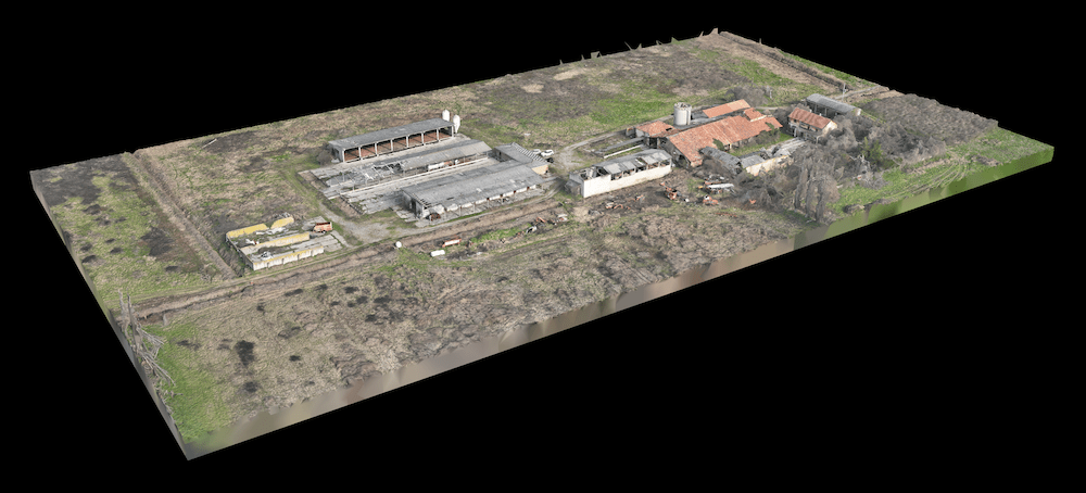
3D models of terrain, buildings, roads and infrastructures (Point Cloud), a reliable foundation for measurements, analysis and design.

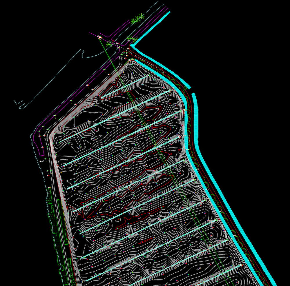
Icona DWG (AutoCAD)

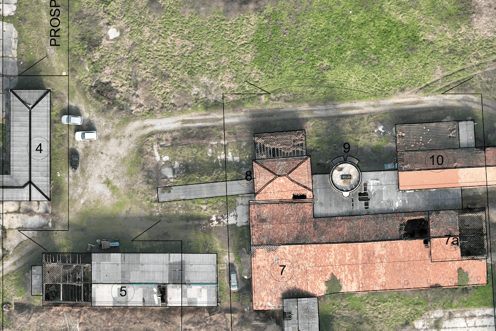
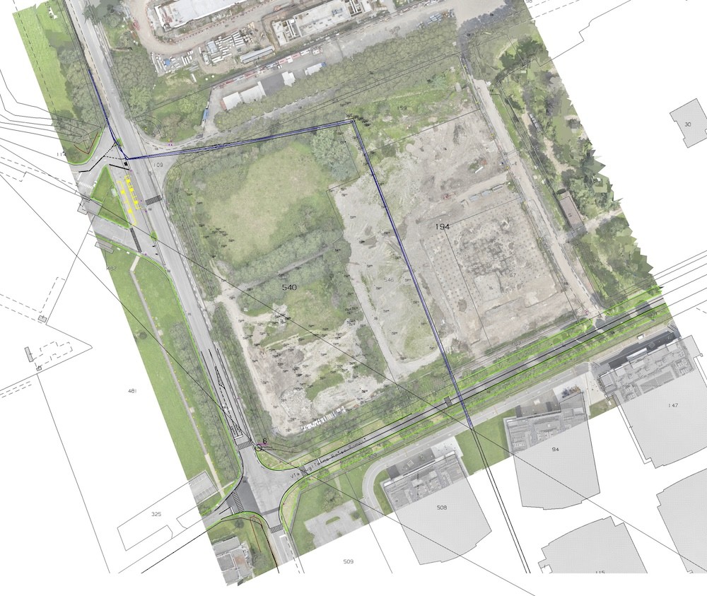
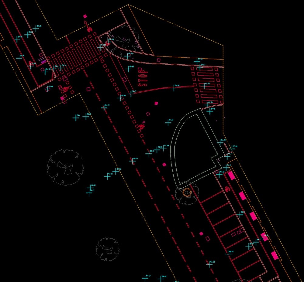
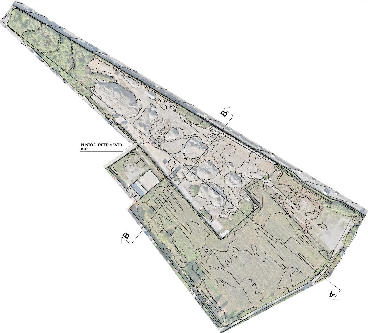
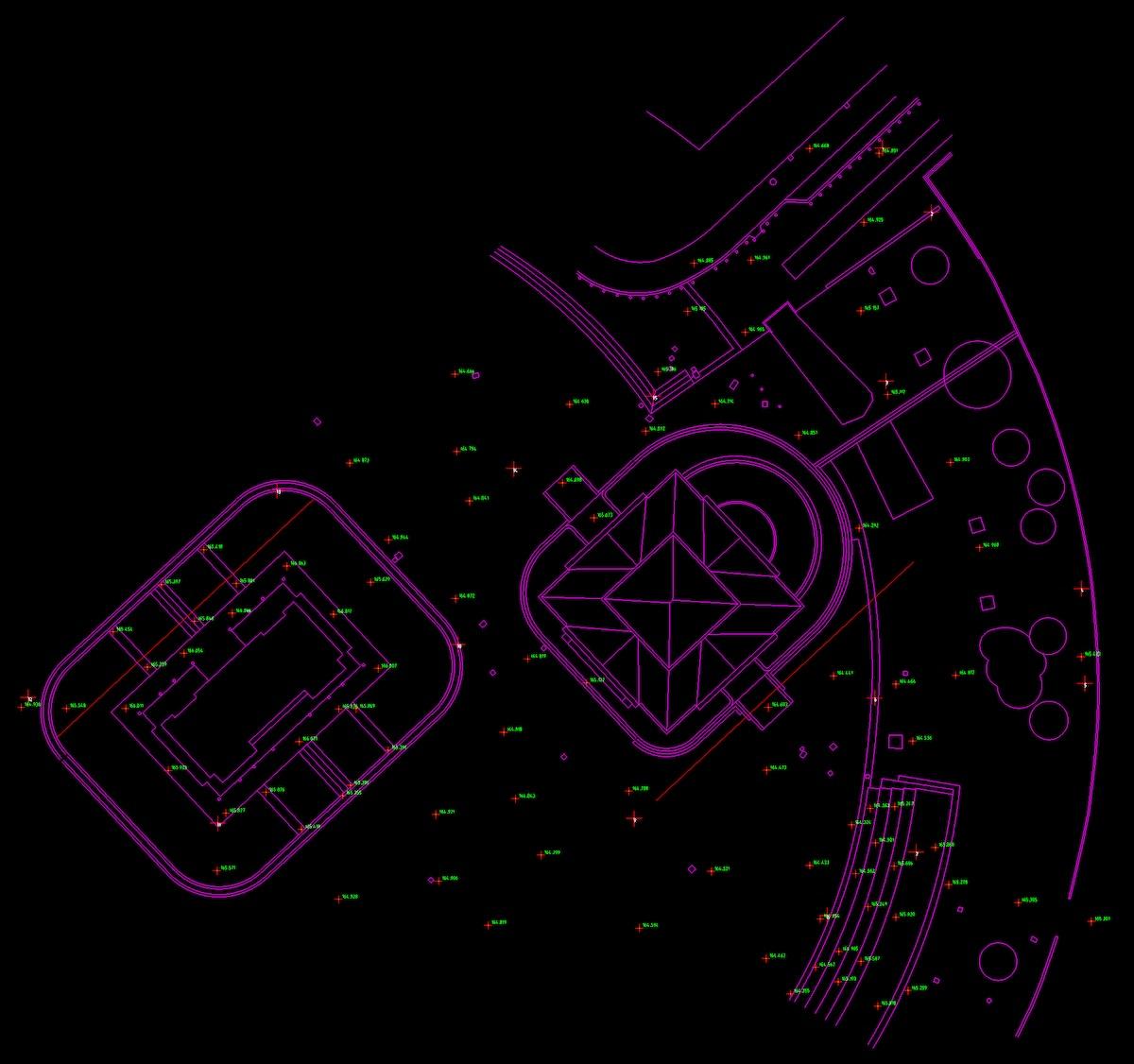
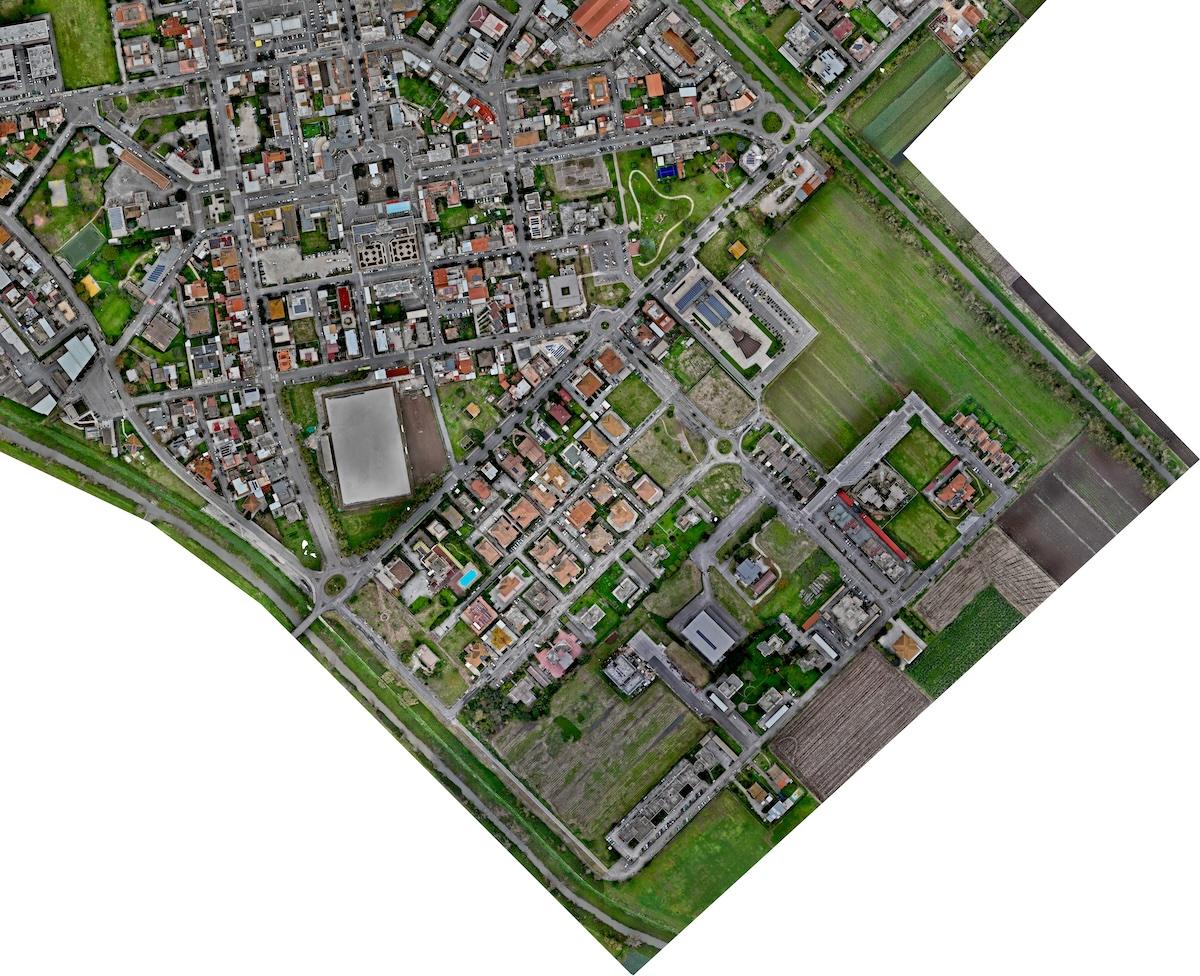
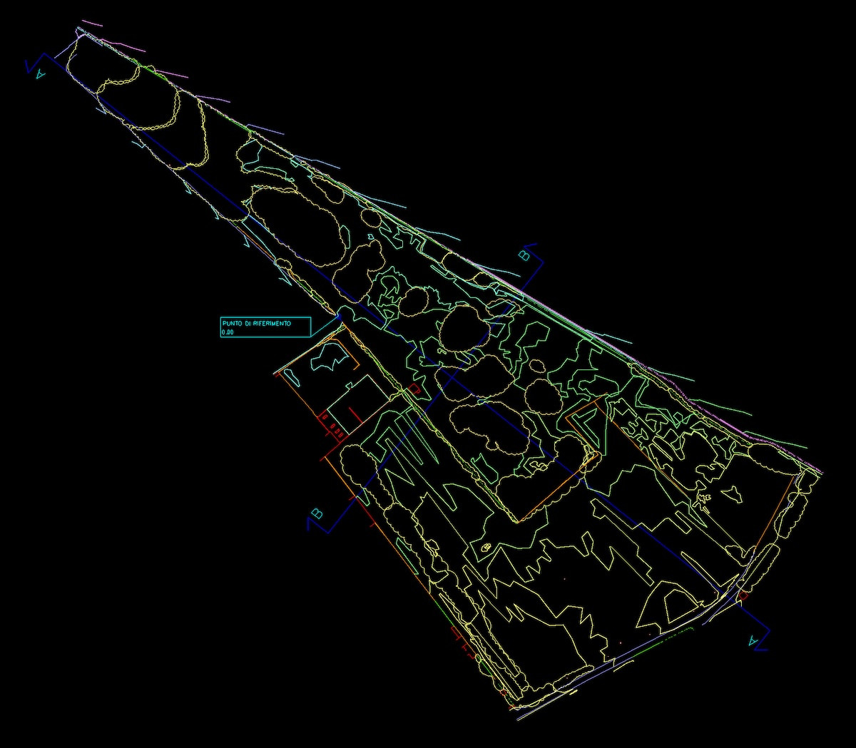
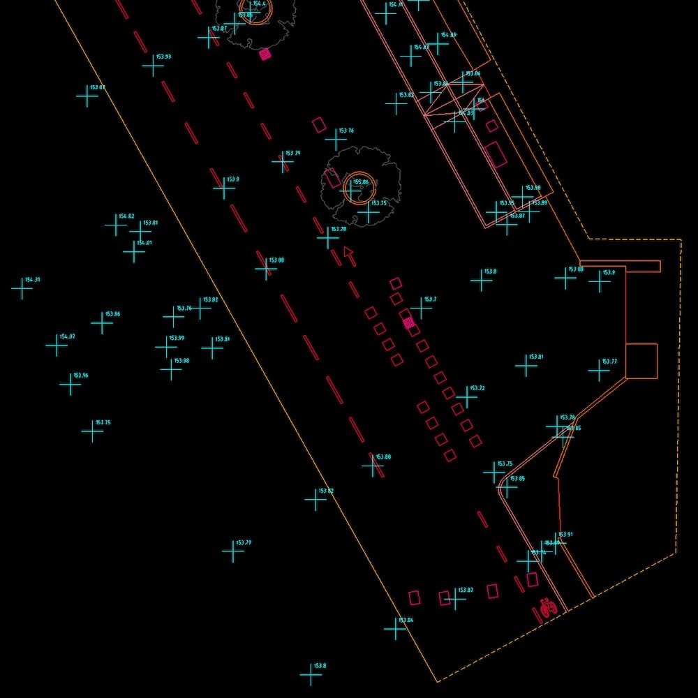
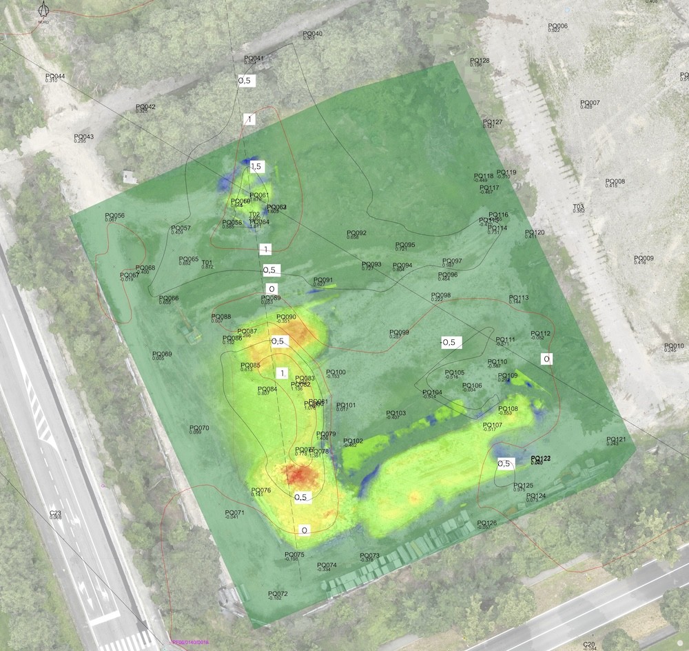
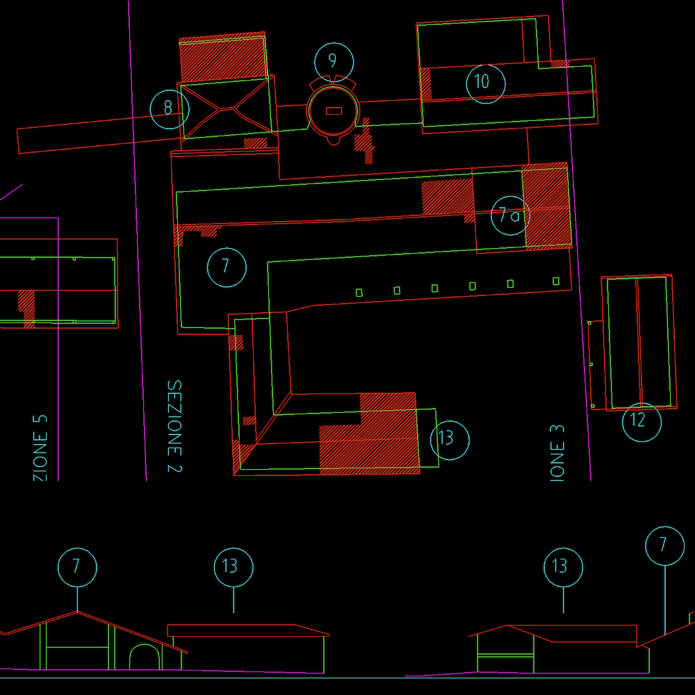
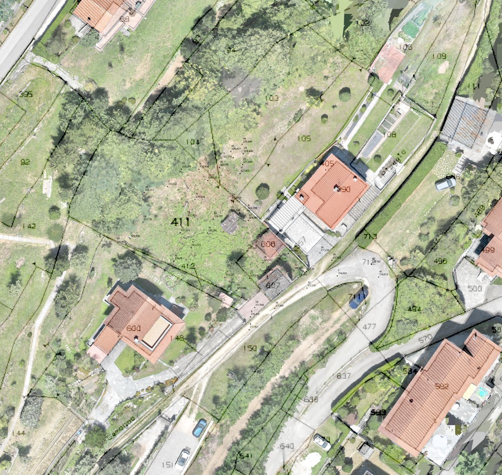
Survey deliverables are typically provided in CAD format (DWG), combined with a high-resolution, georeferenced orthomosaic, ready for operational use.

When required, data can be integrated and cross-checked with Regional Technical Maps (CTR) and cadastral datasets, ensuring consistency and alignment with existing documentation.

Rilievo Topografico con Drone (Comacchio - FE)
Uffici Dasù (Milano, via Savona 123)
Dasù, Icona, Cloud

All deliverables are provided via a dedicated access link, valid for 2 months, which the client can freely share with collaborators and consultants.

Dasù, Icona, FAQ

Is it necessary to obtain authorisations to fly?

Sometimes yes (always in Milan), but when required, our office takes care of everything.

What level of accuracy and precision do the surveys provide?

They depend on the operational context and are defined according to the client’s objectives, and agreed upon during the planning phase.

What are your timelines?

From the moment we fly, the material is delivered within 10 days.

What guarantees do you provide?

  • our Pilots are qualified professionals, holding valid certifications and documented ongoing training;
  • our Drones are duly registered with ENAC and covered by third-party liability insurance (up to 6,500,000 €);
  • all flight operations are conducted exclusively where permitted by current regulations, or subject to prior authorisation from the competent authority;
  • the activity is covered by an additional insurance policy specifically for professional operations (up to 1,200,000 €).

Do you have any other questions?

We are available — you can contact us via WhatsApp or through the Contact page.

Rilievo Topografico con Drone (Oggebbio - Lago Maggiore)
Topographic survey with drone (Oggebbio - Lake Maggiore)
Rilievo Topografico con Drone (Lasnigo - CO)
DasùMobile, Topographic Survey with Drone (Lasnigo - CO)
Rilievo di una villa storica, Château Rambaud
Relief Historic Villa and its Park (Château Rambaud - France)
Rilievo Topografico con Drone di un'Area Industriale (Vimercate - MB)
Topographic Survey with Drone of an Industrial Area (Vimercate - MB)
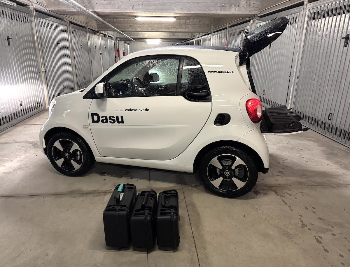
DasùMobile, Servizi con Droni a Milano
DasùMobile at headquarters (Milan)
Rilievo Topografico Fotogrammetrico con Drone, Alessandro Farina
Photogrammetric Topographic Survey with Drone (Torviscosa - UD)
Rilievo Topografico su un Cantiere Edile (Milano)
Topographic survey on a construction site (Milan)
Rilievo Topografico Fotogrammetrico con Drone (Tavullia - PU)
Photogrammetric Topographic Survey with Drone (Tavullia - PU)
Rilievo Topografico-Fotogrammetrico con Drone (Oggebbio, Lago Maggiore)
Topographic-Photogrammetric Survey with Drone (Oggebbio, Lake Maggiore)
Rilievo Topografico con Drone (Val Brembana)
Topographic Survey with Drone (Val Brembana)
Rilievo Topografico-Fotogrammetrico con Drone a Cassano d’Adda (MI)
Drone-Based Topographic–Photogrammetric Survey in Cassano d’Adda (MI)
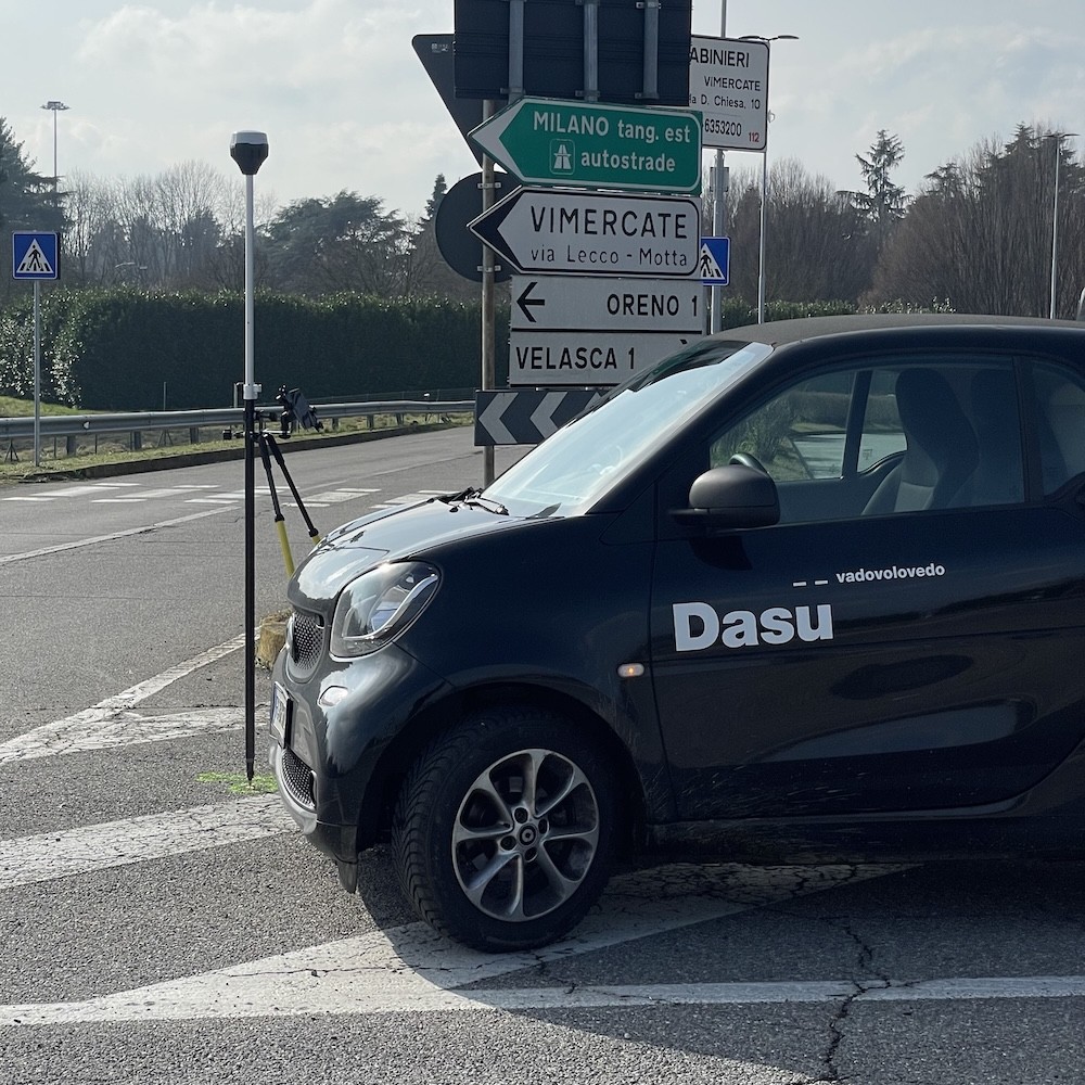
DasùMobile in un Rilievo Topografico con Drone (Vimercate - MB)
DasùMobile in a Topographic Survey with Drone (Vimercate - MB)
Dasù, Icona, Rilevamento Topografico

Topographic Surveys are done for a number of reasons or purposes:

a new building, a presentation of common deeds, a cadastral discrepancy, a due diligence

Dasù, Icona, Vantaggi

Carrying out a Topographic Survey with a Drone means:

✅ Reduce time compared to traditional solutions;

✅ Increase Security by not having to send a person where a drone can arrive;

✅ Detect each part being able to resume everything from the sky;

✅ Improving Precision and Accuracy thanks to new technologies and our integrated work systems.

Let’s talk about your specific case

We can help you determine whether a drone inspection is the right solution for your needs

Start typing and press Enter to search

Shopping Cart