Confined Space Inspection with Drone

Tanks, Cisterns, Silos, Chimneys and Stacks,
Boilers, Tunnels, Pipelines, Sewers,
Wells and Ducts

Some of our work

What problem do we solve?

With the drone, inspecting a confined space does not require anyone to enter. D.P.R. 177/2011 does not apply, there is no access procedure, and the risk to personnel is zero.

Every time a tank, a cistern, a silo or any other confined space needs to be inspected, the process is demanding: internal atmosphere assessment, forced ventilation, work permit, external standby person, Category III PPE, coordination under DPR 177/2011, medical fitness certification for personnel, emergency plan.

Time, costs, bureaucracy — and a residual risk that never fully disappears. INAIL data on fatal accidents in confined spaces shows that the primary cause of death is non-breathable air, responsible for approximately 70% of fatalities.

A recurring dynamic is the human chain: the person attempting to rescue a colleague becomes a victim themselves, with an average of 1.7 deaths per incident.

The regulatory framework was further updated with UNI 11958:2024, which defines hazard identification and risk assessment procedures for confined environments.

In practice, the standard obliges every company with confined spaces to inventory them, classify them and document their condition. The 3D LiDAR survey is the most direct tool for producing that documentation — without anyone physically entering the asset.

With the drone, no one enters.

The pilot and the entire team remain outside, in complete safety. No confined space access procedure is activated. No specialist PPE required. No additional liability for the client related to physical entry.

The problem is not managed — it is eliminated.

What do we do?

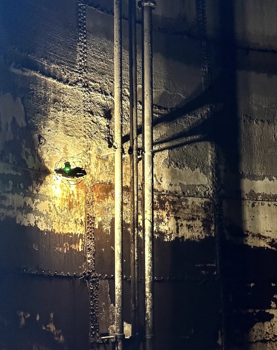
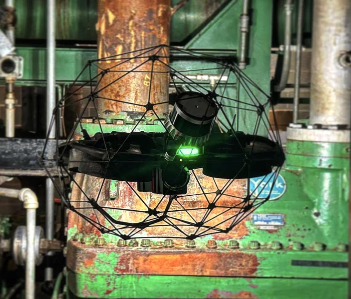
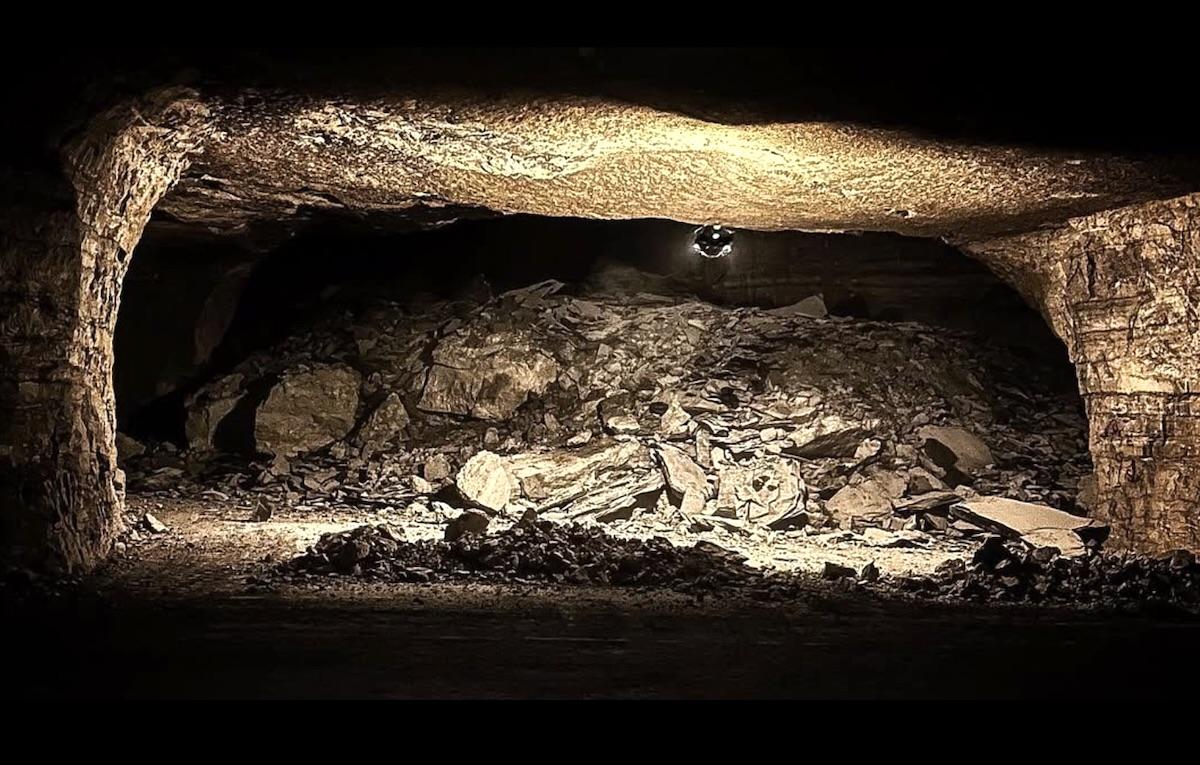
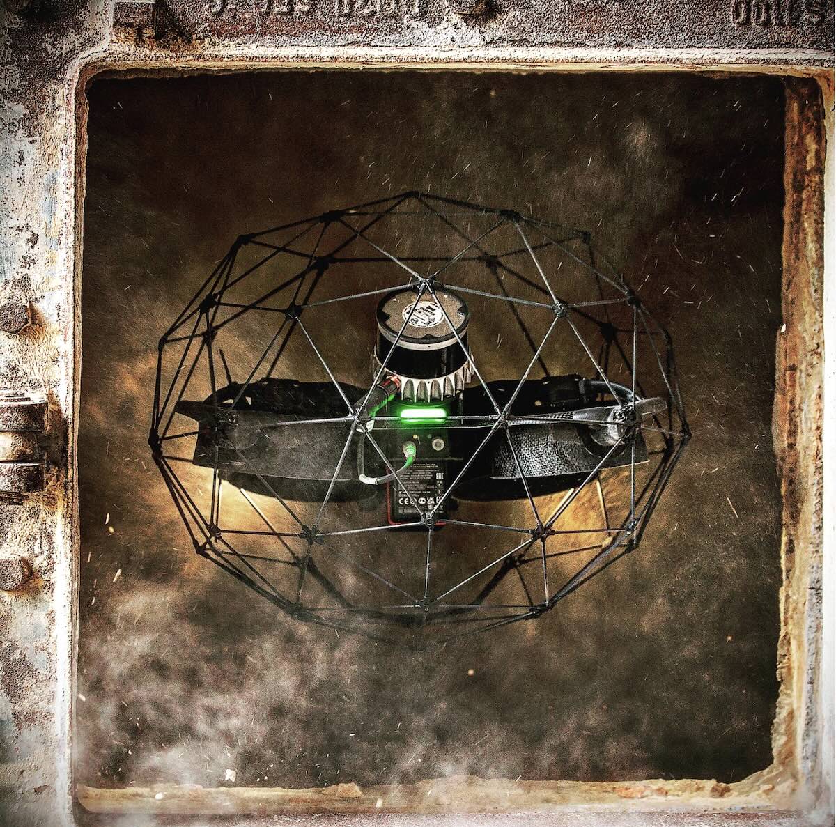
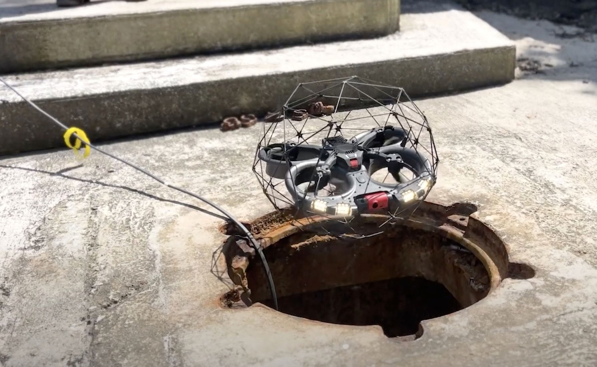
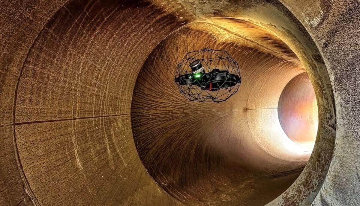
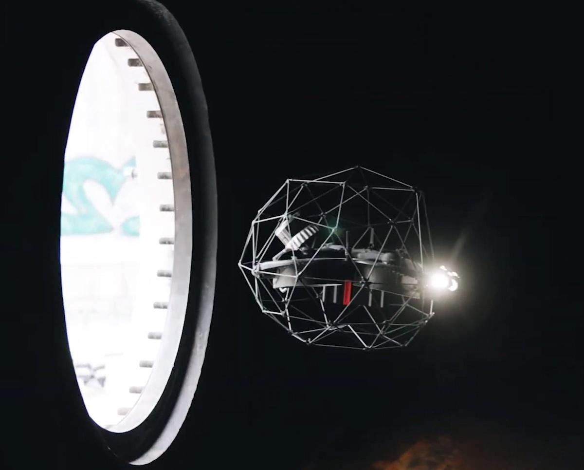
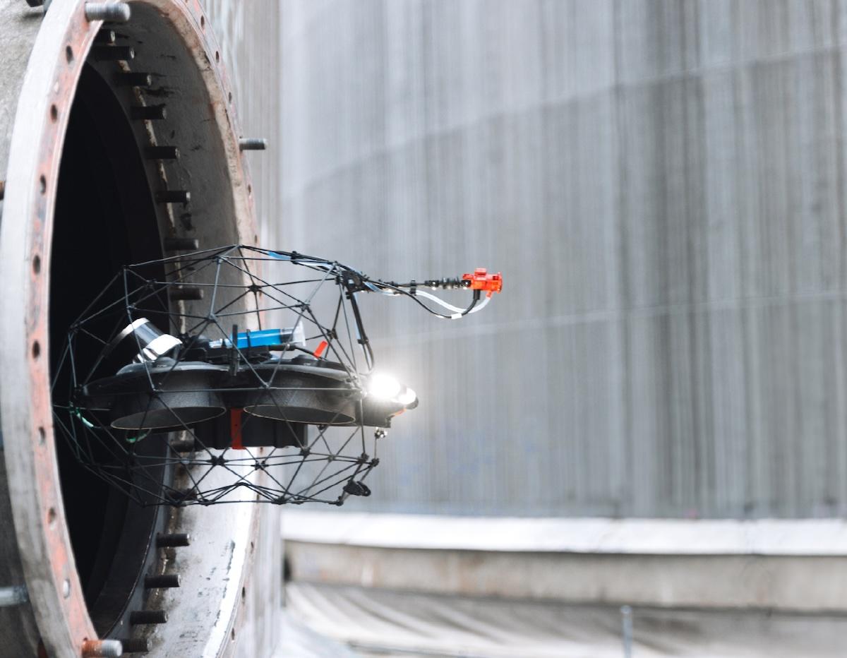
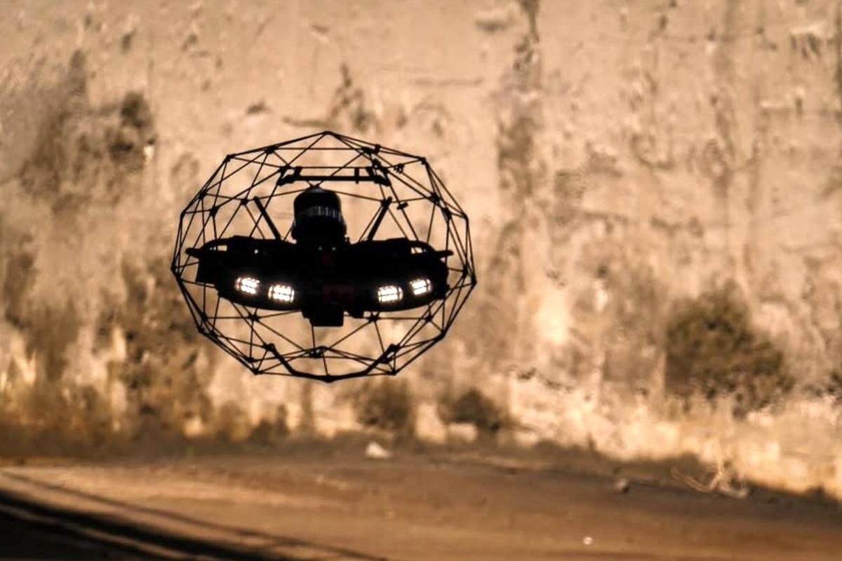
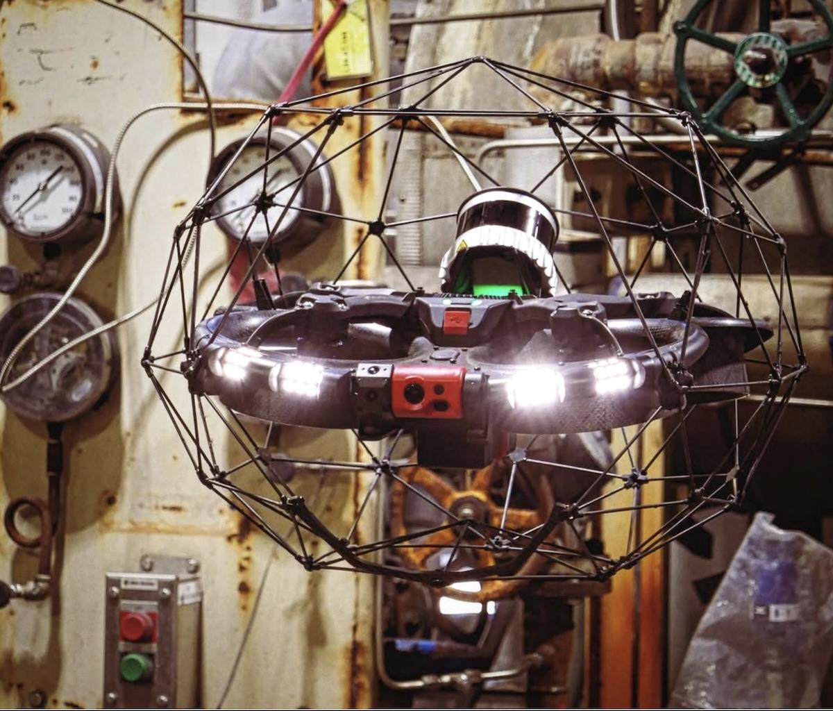
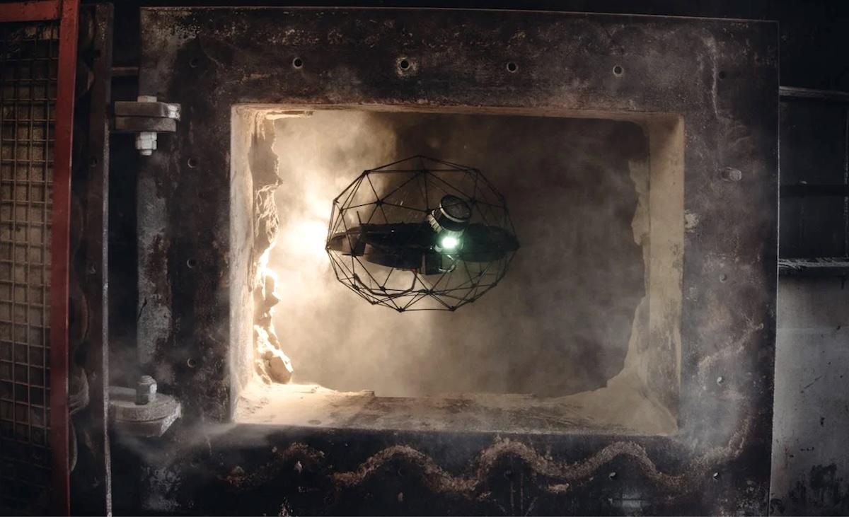
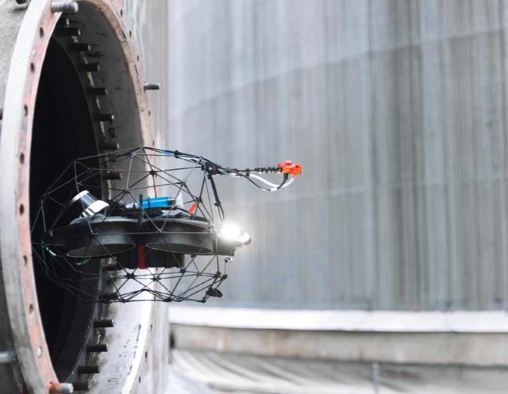
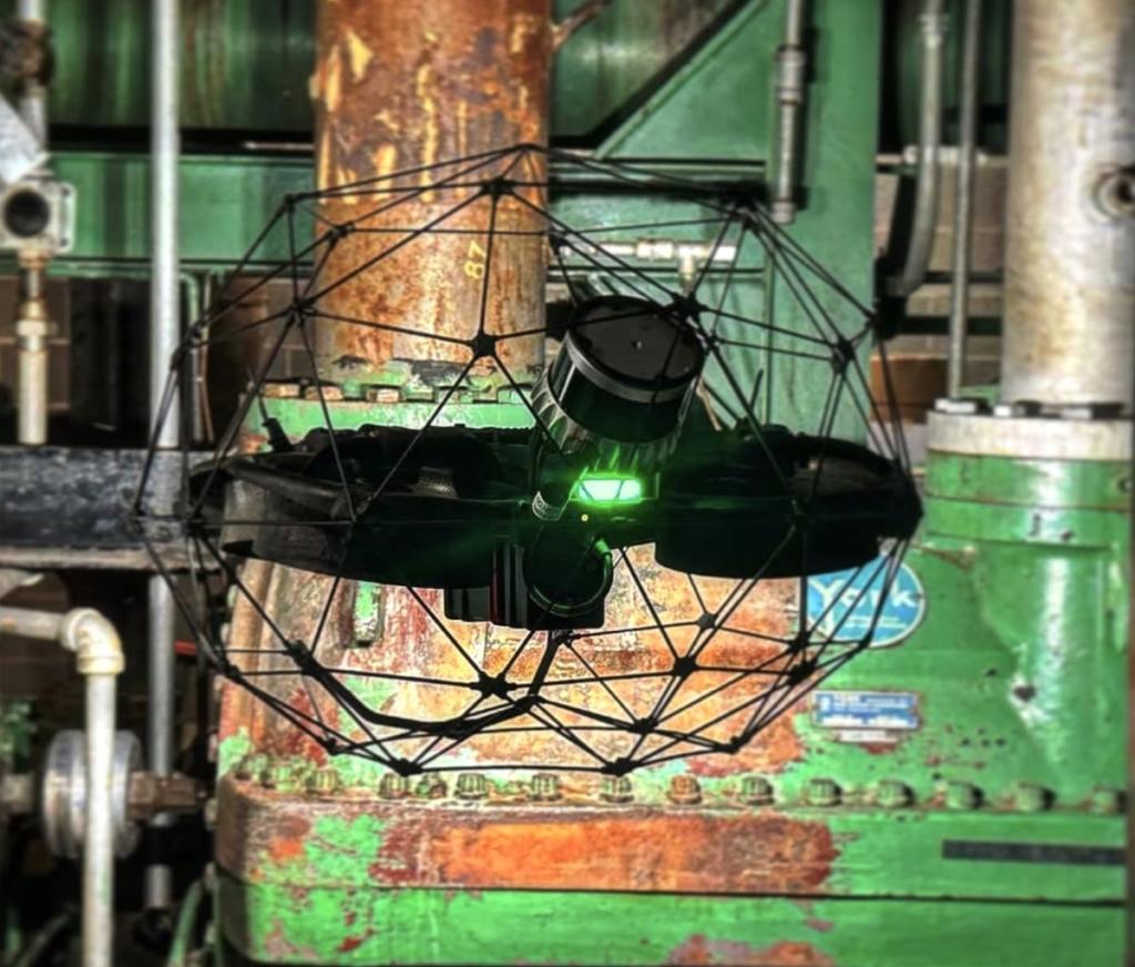
We use the Flyability Elios 3, a drone designed exclusively to fly inside confined spaces — not an adapted drone, a tool built for this purpose.

At the end of the inspection, we deliver:

  • Photos and video of the entire inspected area — always included
  • Visual inspection report — anomalies documented, described and located on the asset map — on request
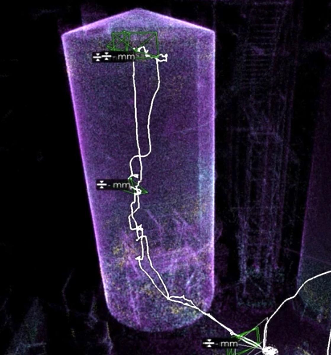
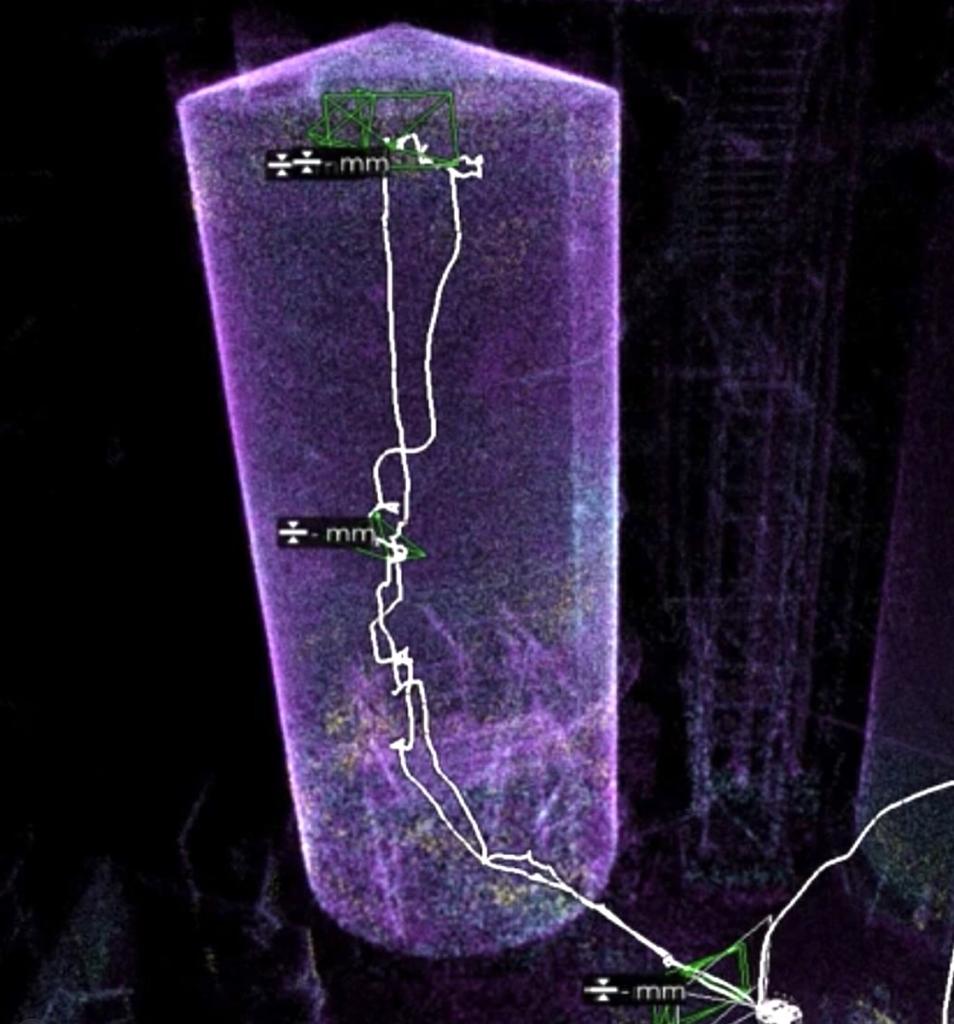
  • 3D model, CAD or BIM drawing — point cloud with ±6 mm accuracy, deliverable in DWG, RVT or IFC — on request

The 3D model allows the client to navigate virtually inside the asset at any time, without re-entering — to measure, analyse and plan subsequent works.

If the objective includes the asset’s geometry — not just its visual condition — we process the point cloud acquired during the flight into a metric 3D model with ±6 mm accuracy, deliverable in CAD (DWG) or BIM (RVT, IFC). This is a distinct output from the visual inspection: it serves engineers, structural specialists and engineering managers who need to update as-built drawings, design modifications or feed the plant’s digital twin — without ever physically entering the asset.

For inspections of external structures, facades and roofs, see our aerial inspections service.

How do we work?

Dasù, Icona, Computer

Our office handles everything:

  • We collect asset information before the inspection: type, dimensions, available access points, known internal conditions, inspection objectives;
  • We plan the mission — defining the flight path, required coverage and output delivery format;
  • We schedule the date and time of the intervention, coordinating with the client to minimise operational downtime.
Ufficio Dasù (Milano)
Confined Space Inspection with Drone
Dasù, Icona, Drone

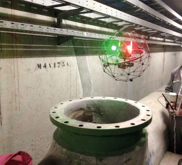
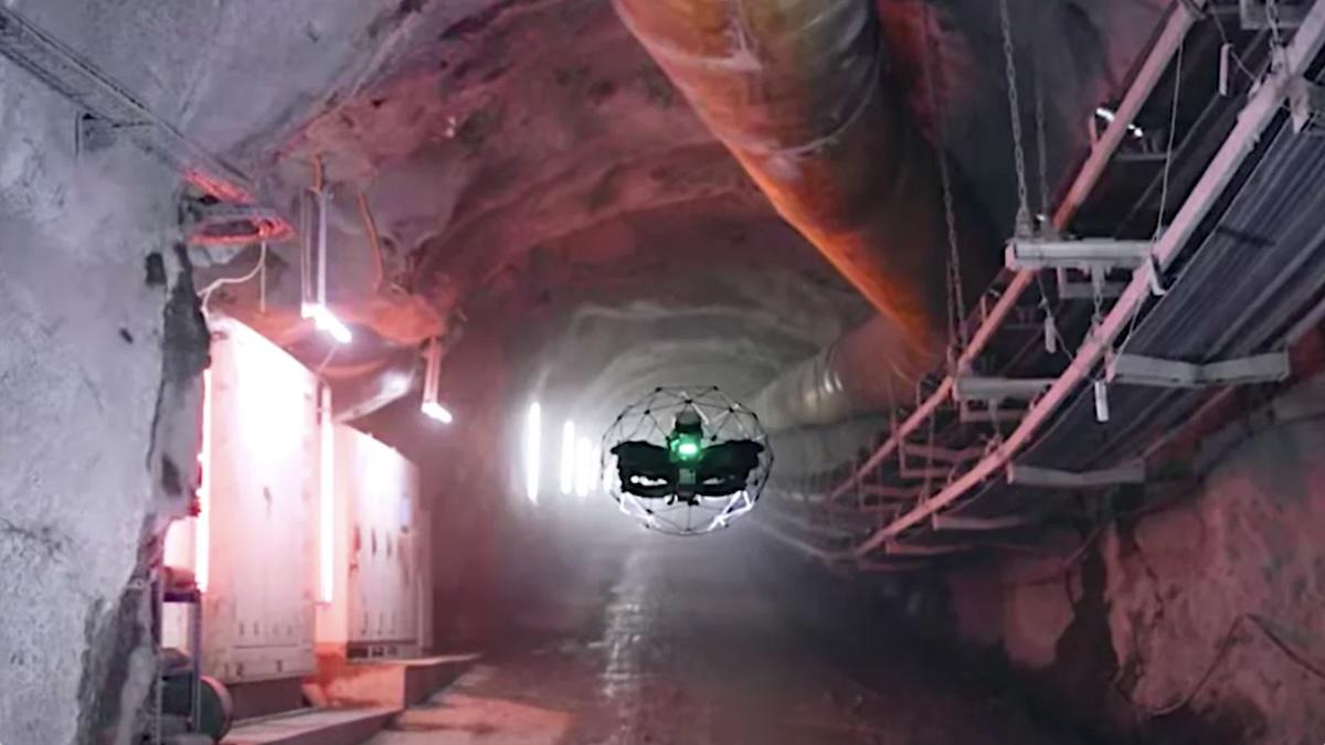
The drone enters, the team stays outside:

  • The pilot operates from outside the asset, with real-time view of the video feed and the 3D map generated in flight;
  • The Elios 3 explores the environment systematically, documenting every surface with 4K camera and integrated thermal camera;
  • Anomalies are identified and geolocated directly during the flight, on the asset’s three-dimensional map.
Confined Space Inspection with Drone
Fotografie 4K ispezione spazi confinati Video ispezione spazi confinati

Photos and video always included:

  • All visual material acquired in flight is selected, organised and delivered in high quality;
  • The client receives 4K photographs and video of the entire inspected area, ready to browse and archive;
  • This is the standard output of every inspection — regardless of any additional deliverables requested.
Confined Space Inspection with Drone
Icona PDF

Inspection report on request:

  • Images and video acquired in flight are analysed in our office and organised into a structured inspection report;
  • Every detected anomaly — corrosion, infiltration, settlement, deposits, structural damage — is documented, described and geolocated on the asset map;
  • The report is a technical document, archivable and directly usable to plan interventions or for mandatory compliance documentation.
Confined Space Inspection with Drone
Elaborato CAD DWG ispezione spazi confinati Modello BIM Revit RVT ispezione spazi confinati Modello IFC BIM ispezione spazi confinati

3D model, CAD and BIM, on request:

  • If the objective includes the asset’s geometry, we process the point cloud collected in flight into a 3D model with ±6 mm accuracy;
  • From the model we produce CAD drawings (DWG) or a BIM model (RVT, IFC);
  • This output is additional to the others and does not require a second access to the asset.
Uffici Dasù (Milano, via Savona 123)
Dasù, Icona, Cloud

All material is delivered via a dedicated link, valid for 2 months, which the client can share with whoever they need.

Who is this service for?

We work with HSE Managers and Safety Officers — internal or external to the company — responsible for managing periodic or extraordinary inspections of assets classified as confined spaces, minimising personnel access risk.

We work with facility managers and plant managers in industrial, oil & gas, utilities, food processing and metalworking sectors, managing assets such as tanks, cisterns, silos, boilers and pipeline networks.

We work with public authorities and water and sewage network operators that need to inspect tunnels, pipelines, manholes and basins in a documented and compliant manner.

We work with remediation and maintenance companies that require a preliminary visual inspection before sending personnel inside, or who also combine the inspection with drone silo cleaning

Dasù, Icona, FAQ

Is authorisation required to fly a drone inside a confined space?

No. Flights inside confined spaces are indoor flights — ENAC regulations (Italian Civil Aviation Authority) do not apply and no flight authorisation is required. Our office handles all operational and regulatory aspects in advance of every intervention.

Can the drone operate in environments without light, with dust or humidity?

Yes. The Elios 3 is designed to operate in critical conditions: integrated lighting at 10,000 lumens, resistance to dust and water splashes. No environment preparation is required in terms of lighting or prior cleaning.

Can the drone operate in ATEX zones or environments with flammable gases?

The Elios 3 is not ATEX-certified. In environments that may contain flammable or explosive gases, flight requires a preliminary atmosphere purge (gas-free certification) and a valid hot work permit, in accordance with the client’s safety procedures. Without these conditions, flight in ATEX zones is not permitted. For most industrial assets requiring inspection — emptied tanks, silos, tunnels, boilers — pre-purging is already part of the standard safety procedure before any intervention. If you are unsure about your asset’s conditions, contact us: we assess feasibility before any commitment.

Is a confined space work permit required for the drone inspection?

No. DPR 177/2011 governs the physical access of personnel into confined spaces. With the drone, no one enters: the pilot and the team remain outside for the entire duration of the inspection. No access procedure is activated, no PPE for hazardous atmospheres is required, no medical fitness certification for entry is needed.

Does the plant need to be shut down for the inspection?

It depends on the asset. In most cases the inspection takes place during an already scheduled shutdown or when the plant is inactive. The drone adds no downtime: it enters, inspects and delivers the data. Operational planning is defined together with the client during the briefing.

What types of confined spaces can you inspect?

All those covered by the definition under Legislative Decree 81/08: tanks, cisterns, silos, chimneys, stacks, boilers, tunnels, pipelines, sewers, wells, ducts, industrial furnaces, heat exchangers. If you have a specific case not covered by these examples, contact us: we assess feasibility before any commitment.

What does the inspection report include?

The report includes 4K video and photographs of the entire inspected area, description and geolocation of every detected anomaly (corrosion, infiltration, settlement, deposits, structural damage), and — on request — the navigable 3D model with mapped anomalies. It is a structured technical document, archivable and directly usable to plan interventions.

Can you also produce a 3D model or CAD drawing from the inspection?

Yes. If the objective includes the asset’s geometry, we process the point cloud collected in flight into a 3D model with ±6 mm accuracy, deliverable in CAD (DWG) or BIM (RVT, IFC). This output is additional to the visual report and does not require a second access to the asset.

How quickly is the material delivered?

From the moment of the inspection, we deliver photos and video within approximately 3 days and the report within approximately 10 days. If metric processing is also required (3D model, CAD or BIM), timelines extend depending on asset complexity: we define them during planning.

What guarantees do you offer?

  • Our pilots are professionals, with valid certifications (A1/A3, A2, STS01, CRM, COM) and documented ongoing training;
  • Our drones are regularly registered with ENAC and covered by RCT insurance (up to €6,500,000);
  • Flight operations are carried out exclusively where permitted by applicable regulations or with prior authorisation from the competent authority;
  • Our activity is covered by additional professional liability insurance (up to €1,200,000).

Any other questions?

We are available — contact us via WhatsApp or through the Contact page.

Why Dasù?

🛡️ Public liability insurance (R.C.) for the exercise of our business activity (coverage limit € 1,200,000);

🛡️ Public liability insurance (R.C.) for our entire UAS (drone) fleet (coverage limit € 6,500,000);

👨‍✈️ Professional, qualified Dasù pilots, under the operational direction and UAS coordination of pilot Alessandro Farina:
     ✓ more than 4,500 missions completed;
     ✓ “Open” certificate (A1/A3, A2) and “Specific” certificate (STS01, CRM, COM);
     ✓ GWO (WAH) certification for wind turbines;
     ✓ PPE-FALL certificate for the use of fall-protection PPE when working at height;
     ✓ Fire safety officer certificate;
     ✓ First aid officer certificate.

Confined space drone inspection:
what changes compared to traditional methods

Without the Drone

Traditional confined space inspection requires: internal atmosphere assessment, forced ventilation, written work permit, external standby guard, third-category PPE, personnel with occupational health clearance, active emergency plan. Preparation time: 1–3 days. Internal scaffolding setup: up to 7 days of downtime. The client bears criminal liability if the appointed contractor is not qualified under D.P.R. 177/2011. Rescue chain risk: average 1.7 fatalities per single incident.

With the Drone

No human entry — D.P.R. 177/2011 does not apply: no permits, no PPE, no access liability;

From days to hours — 2–4 hours of actual flight against 2–7 days of scaffolding setup;

Total access — blind spots, bends, high areas, complex geometries: the drone reaches where human inspection cannot;

Permanent record — 4K report and 3D model queryable over time, without re-entering the asset;

Documentation for compliance and insurance — archivable, verifiable, directly usable for maintenance and engineering;

Metric 3D survey — ±6 mm point cloud for as-built drawings, digital twin or design modifications, without scaffolding.

Last Updated: 13 June 2026

Let’s talk about your specific case.

We can help you assess whether drone inspection is the right tool for your needs.

Start typing and press Enter to search

Shopping Cart