
Architectural Survey
with Drone and Laser Scanner

Residential, Commercial and Listed Buildings,
Rooftops and Flat Roofs, Façades and Inner Courtyards,
Civil and Industrial Infrastructure, Complex Assets and Structures

Selected Projects​

What problem do we solve?

With the drone, surveying a building does not require anyone to work at height, does not require scaffolding, does not require access to individual flats. The dataset is complete in a single visit.

Every time a professional needs to survey a building with traditional methods, the same process begins: coordination with the building manager, agreements with tenants to access individual units, scaffolding or cherry picker hire for rooftops. At the end of it, the result is a set of sampled points, not a continuous surface.

Missing measurements surface in the office, during CAD draughting, when returning to site costs twice as much. Rooftops, upper façades, inner courtyards facing private properties remain grey areas in the survey: estimated, not measured.

Time, cost, coordination. And a result that carries approximations into the project. A seven-storey residential block with three stairwells takes 3 to 4 days on site with traditional methods. With our approach, we survey it in less than one day.

With the drone, the entire building is captured, including where no one can reach.

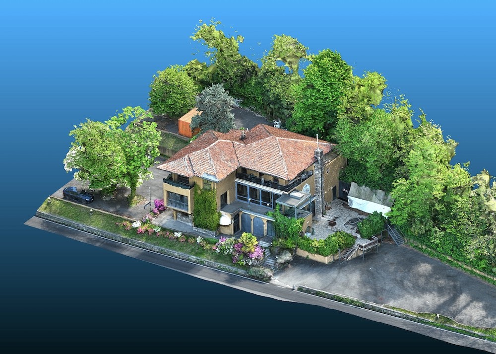
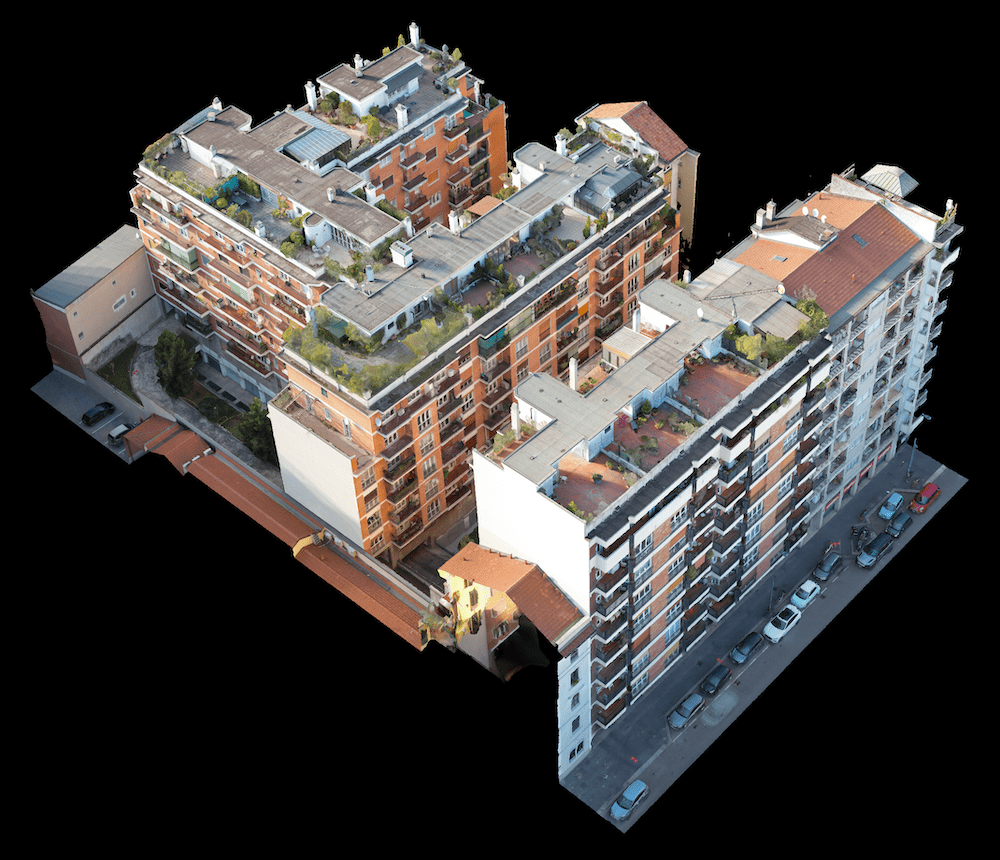
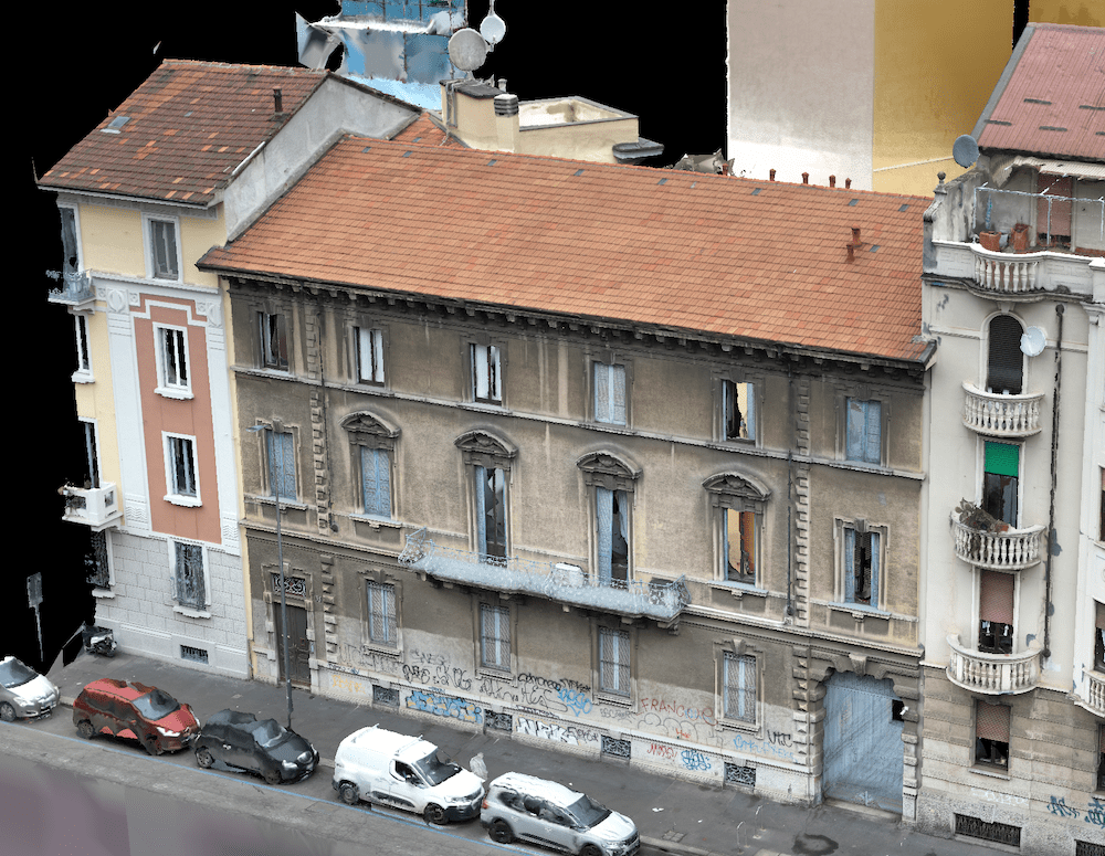
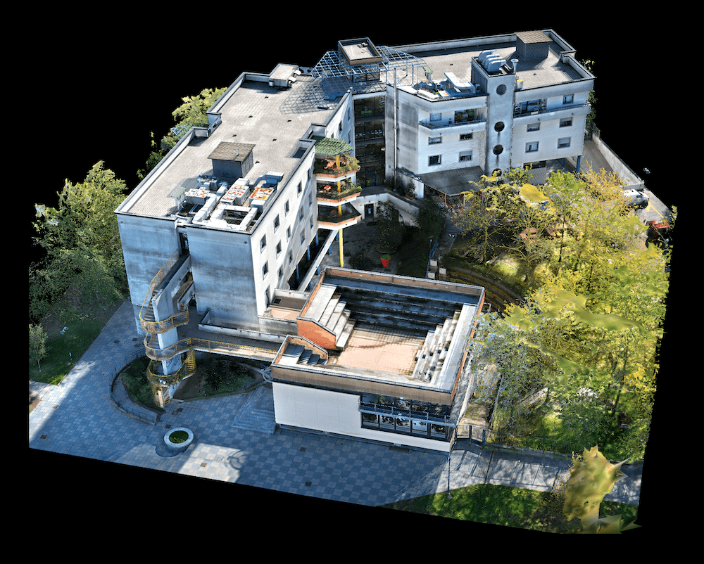
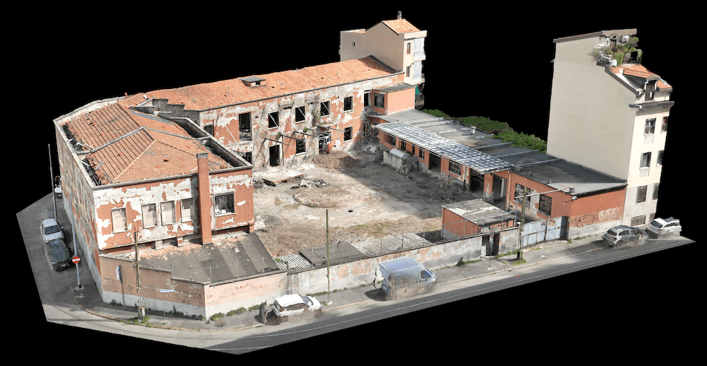
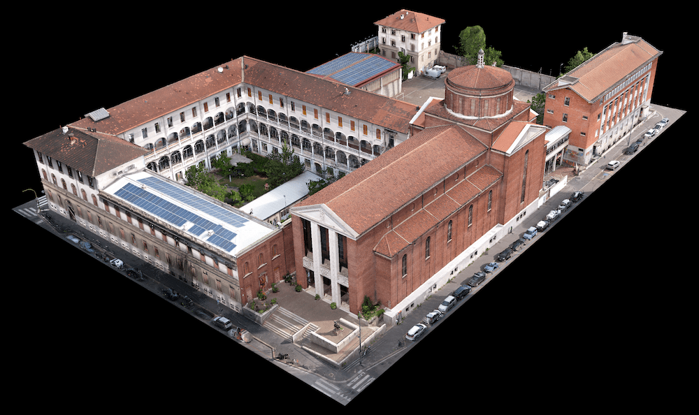
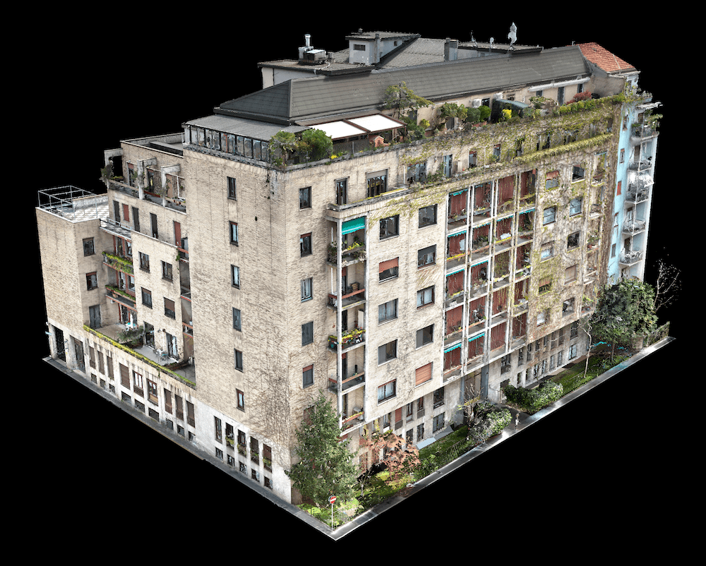
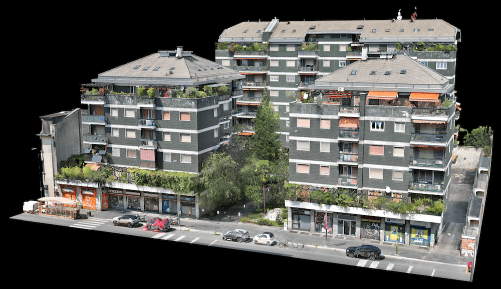
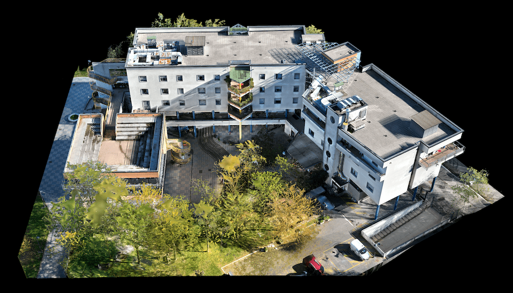
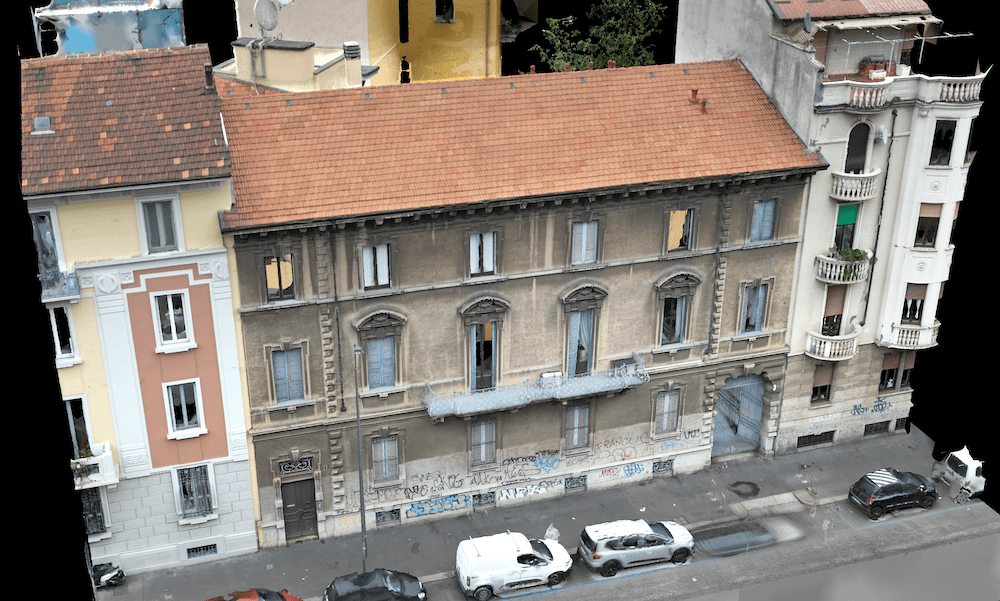
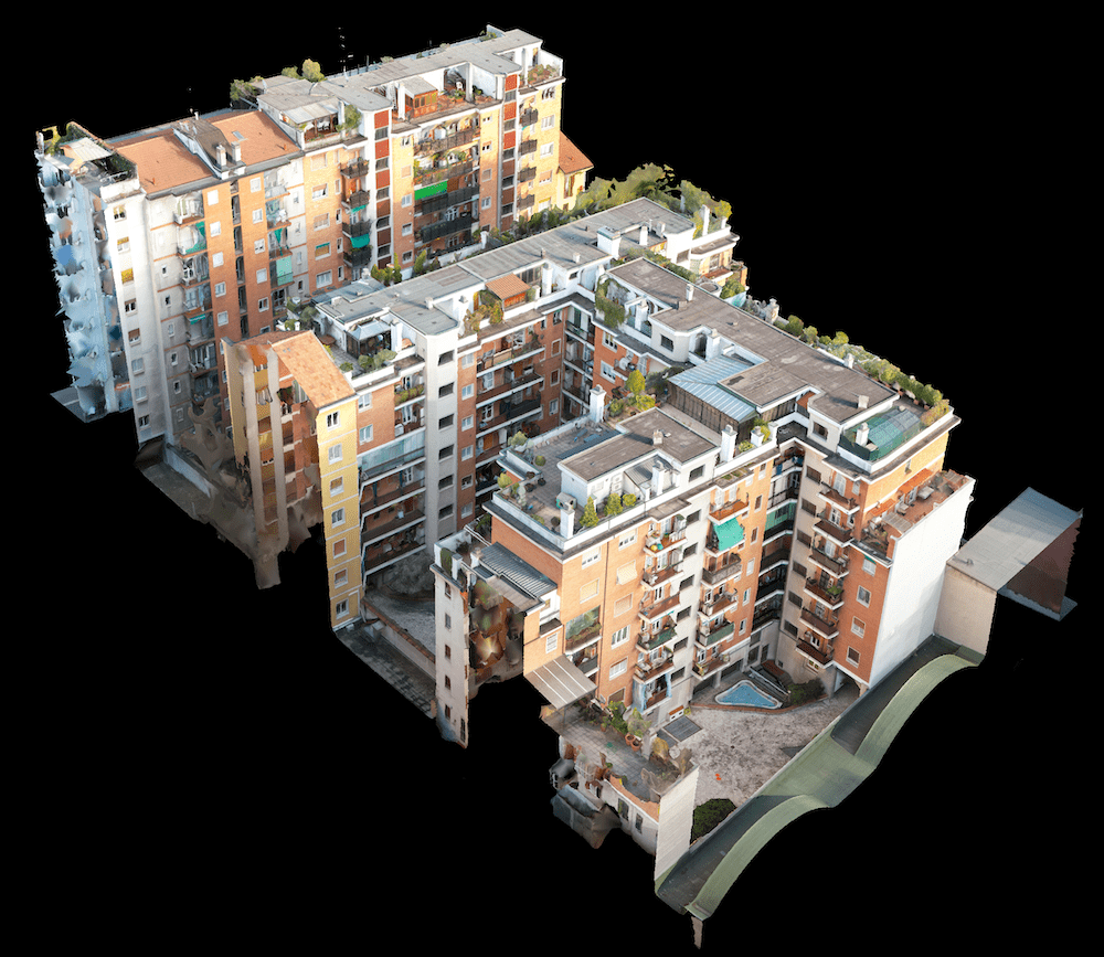
The drone acquires rooftops, upper façades and inner courtyards. The laser scanner records with millimetre precision everything at ground level or in shadow. The two datasets are merged in the office into a single georeferenced, full-colour point cloud. No access to flats. No scaffolding. No return visits.

What do we do?

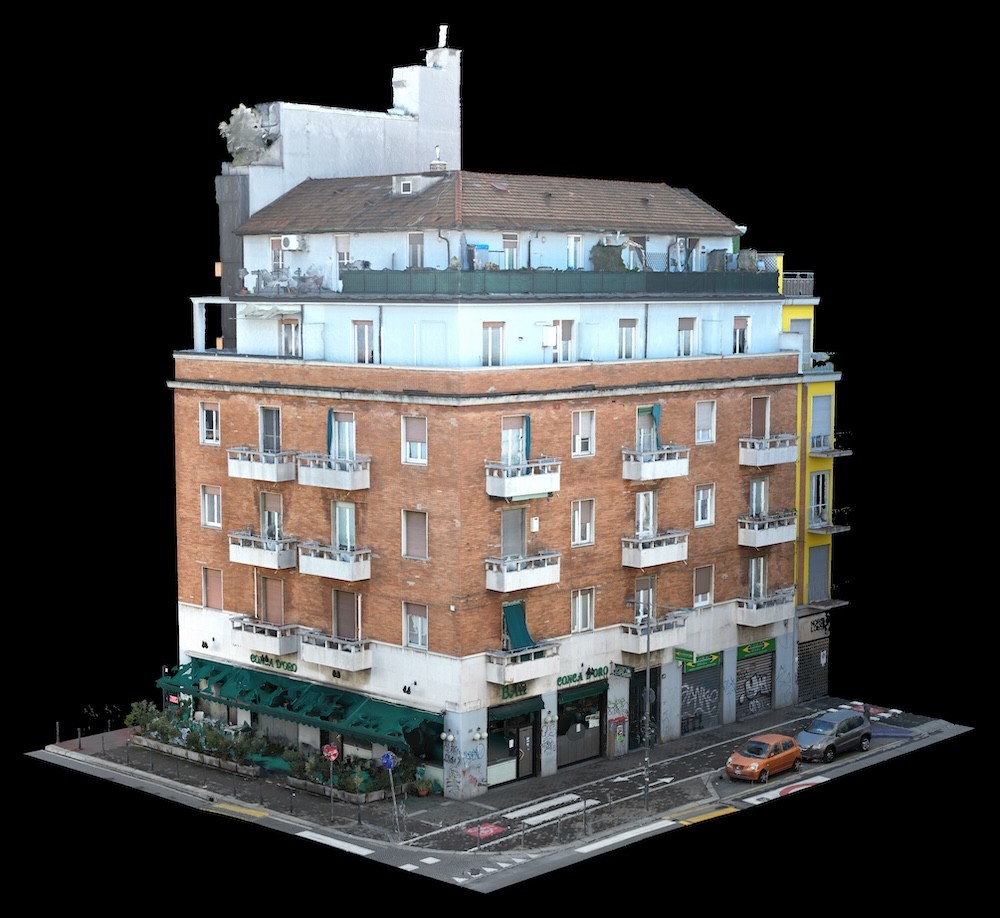
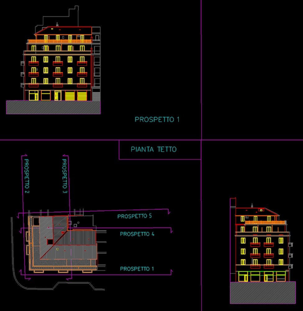
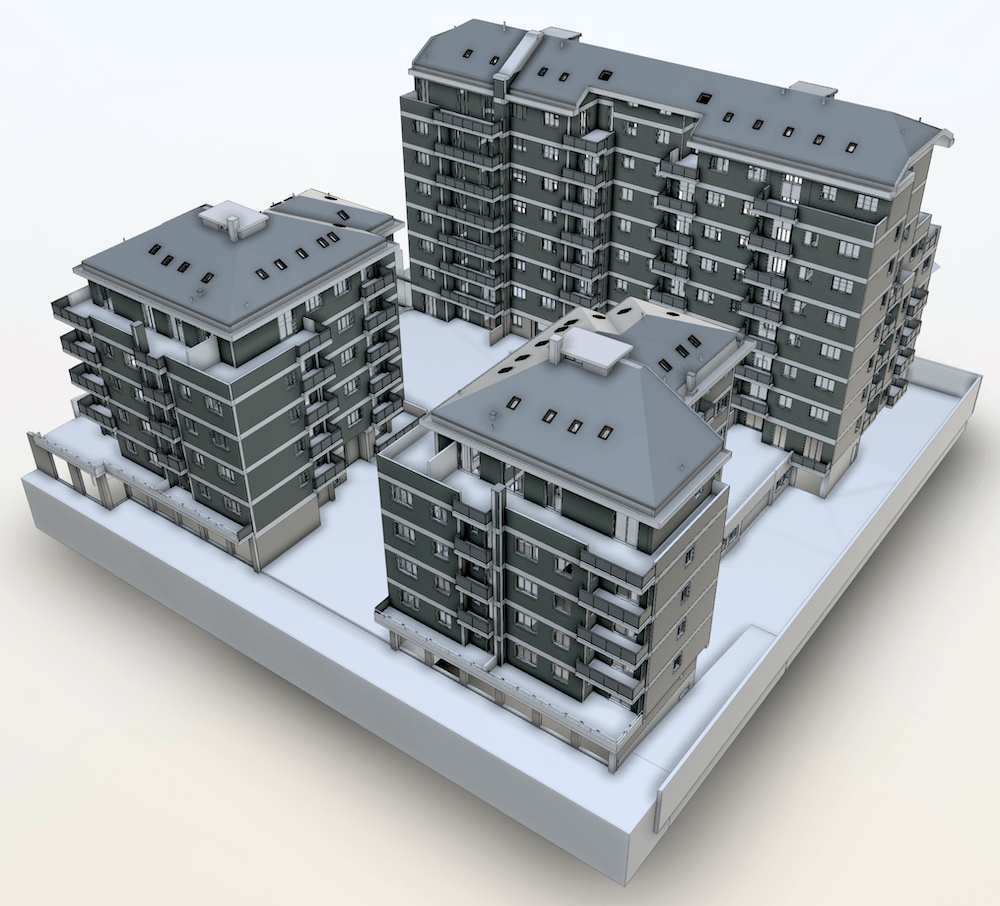
We carry out architectural surveys integrating a professional drone and laser scanner, selecting the most appropriate technical setup for each building. We capture the complete external envelope in a single campaign and deliver CAD drawings (DWG) or a BIM model in RVT or IFC format, at the level of detail agreed with the client.

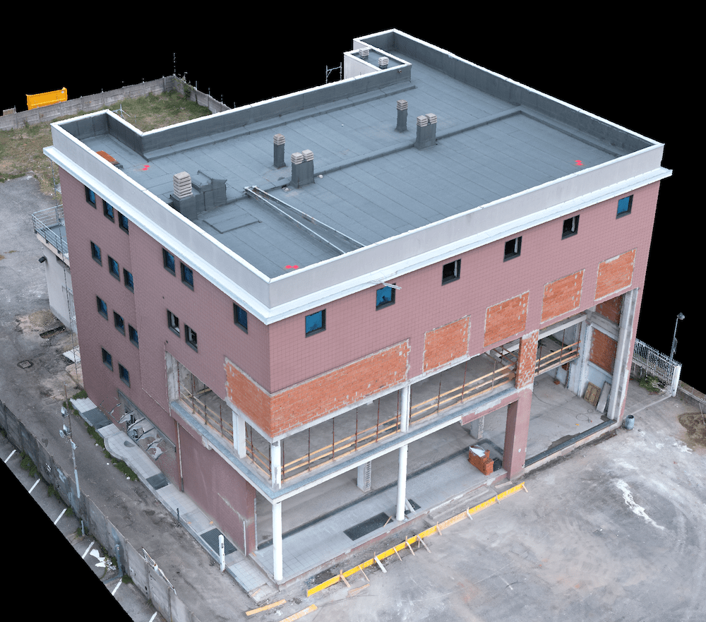
The choice between the two configurations depends on the operational context, not on the client. In open sites with reliable satellite coverage, such as industrial buildings or isolated structures, we use a drone with a GNSS system: faster, same metric output. In dense urban environments, where satellite coverage is not dependable, we integrate the drone with the laser scanner to guarantee measurement accuracy in any condition.

In both cases, the drone captures everything at height or unreachable from ground level: flat and pitched rooftops, upper façades, cornices, dormers, inner courtyards, sections facing adjacent properties. The laser scanner records with millimetre precision everything the drone cannot cover with the same accuracy: geometric details, areas beneath overhangs, ground-level elements.

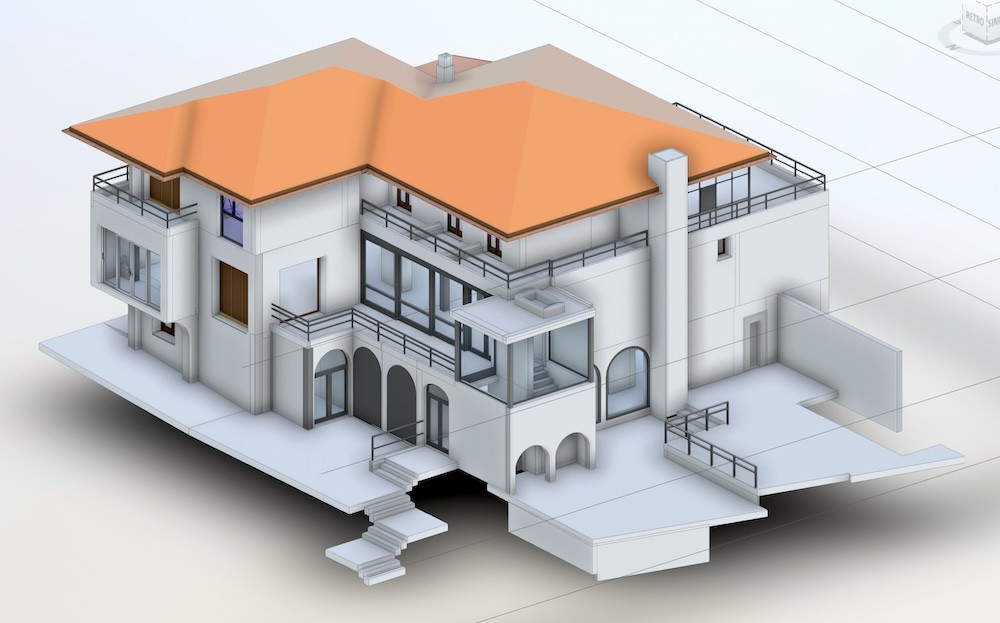
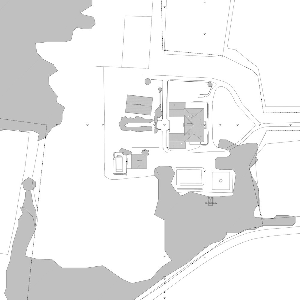
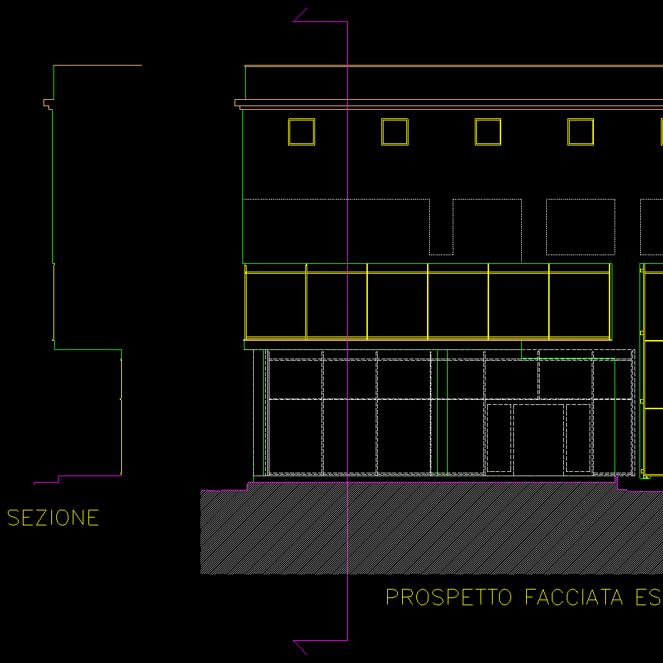
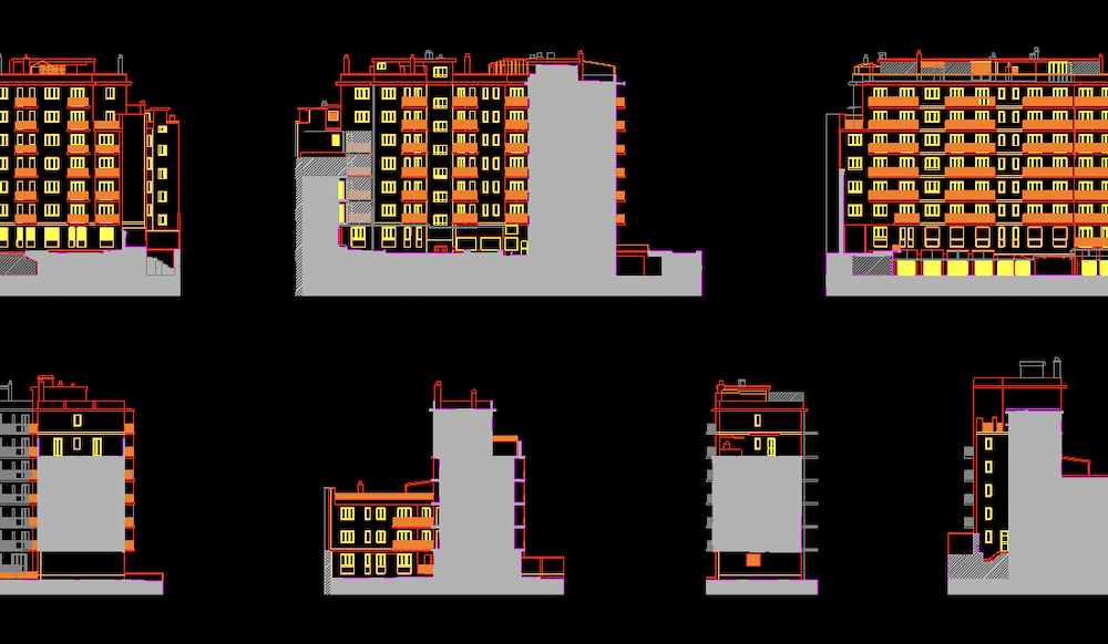
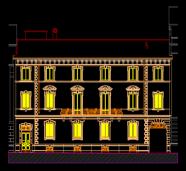
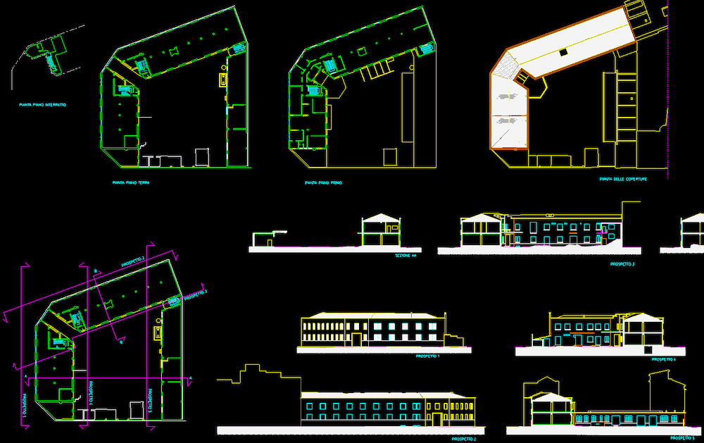
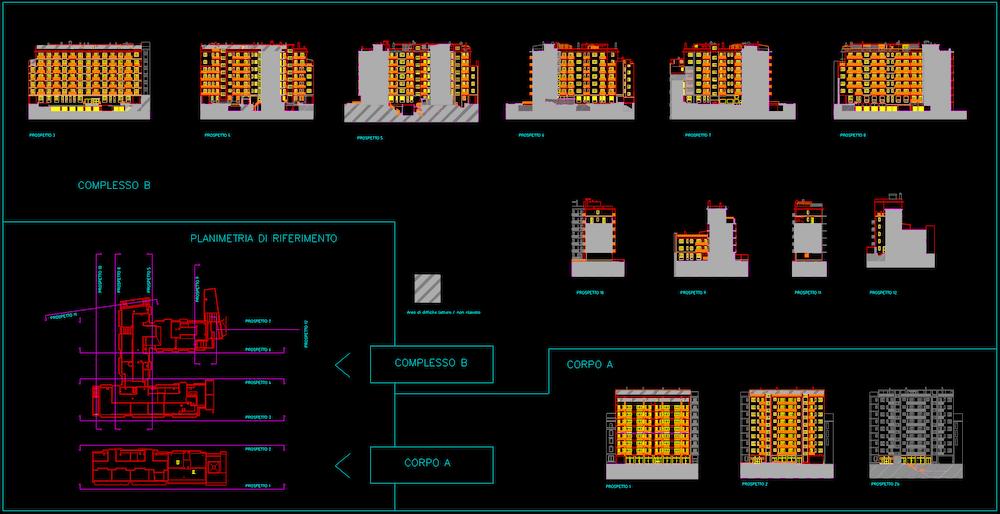
The two datasets are merged in the office into a single georeferenced, full-colour 3D point cloud. From this point cloud we extract plans, elevations and sections in DWG format, or build the BIM model in Revit (RVT) or open IFC format, compatible with any design software. Delivery is within 10 working days of the survey.

How do we work?

Dasù, Icona, Computer

Our office handles everything:

  • We gather and analyse the client’s requirements: type of deliverable (CAD or BIM), level of detail (LOD), georeferencing system and survey objectives;
  • We schedule the date and time of the intervention according to site availability;
  • We manage all flight authorisations (Prefecture, airport authorities, etc.) in full compliance with current ENAC regulations. In Milan, prior authorisation is always required: our office handles the entire process.
Ufficio Dasù (Milano)
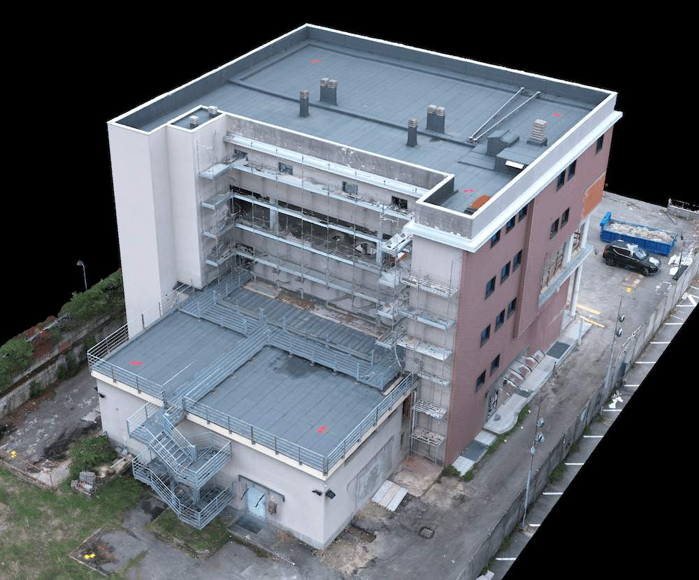
Rilievo Architettonico con Drone di Torre Bacciocchi (Milano)
Survey of the “Torre Bacciocchi” using a Drone (Milan)
Rilievi in Cantiere con Drone e Laser Scanner (Milano)
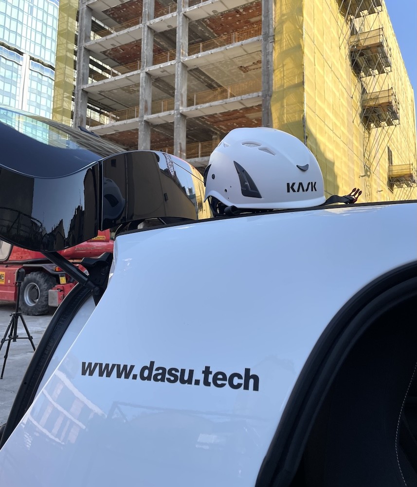
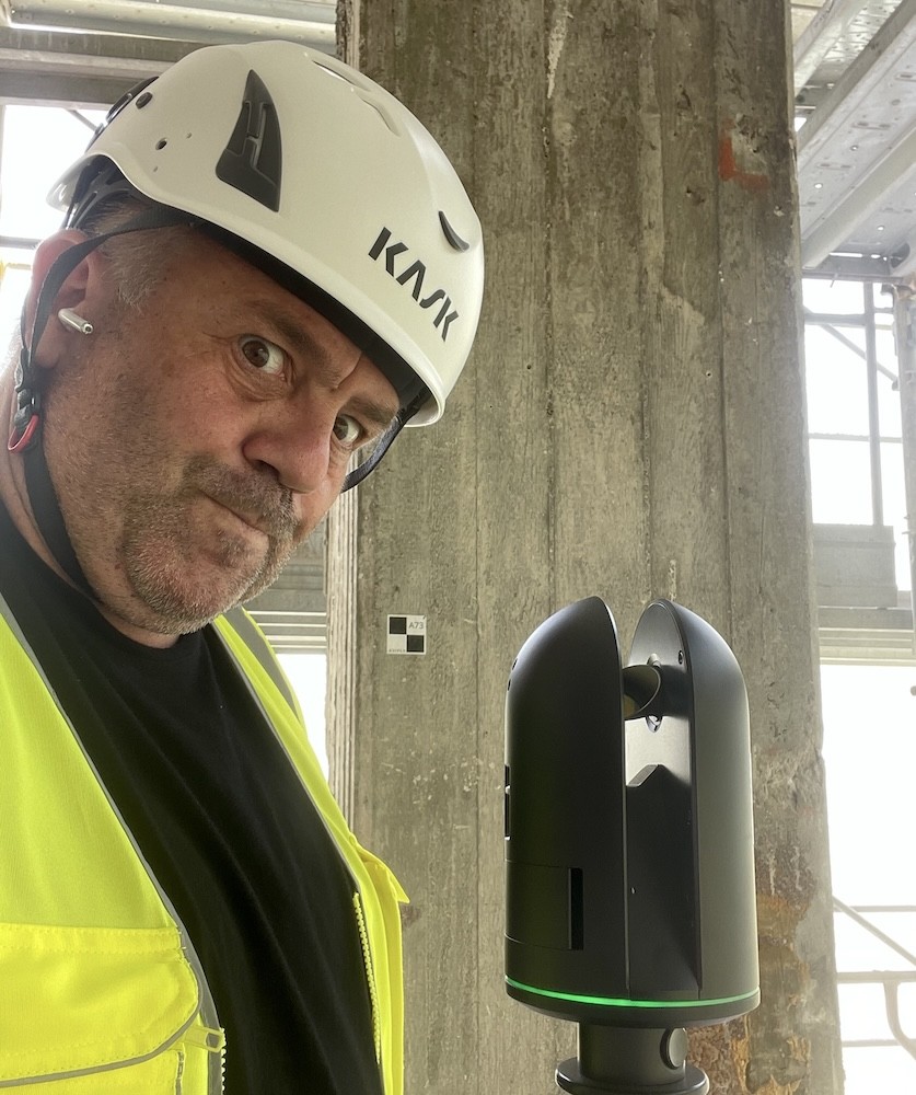
DasùMobile on Site (Tocqueville 13, Milan)
Rilievo Architettonico con Drone di un Deposito Logistico
Dasù, Icona, Drone

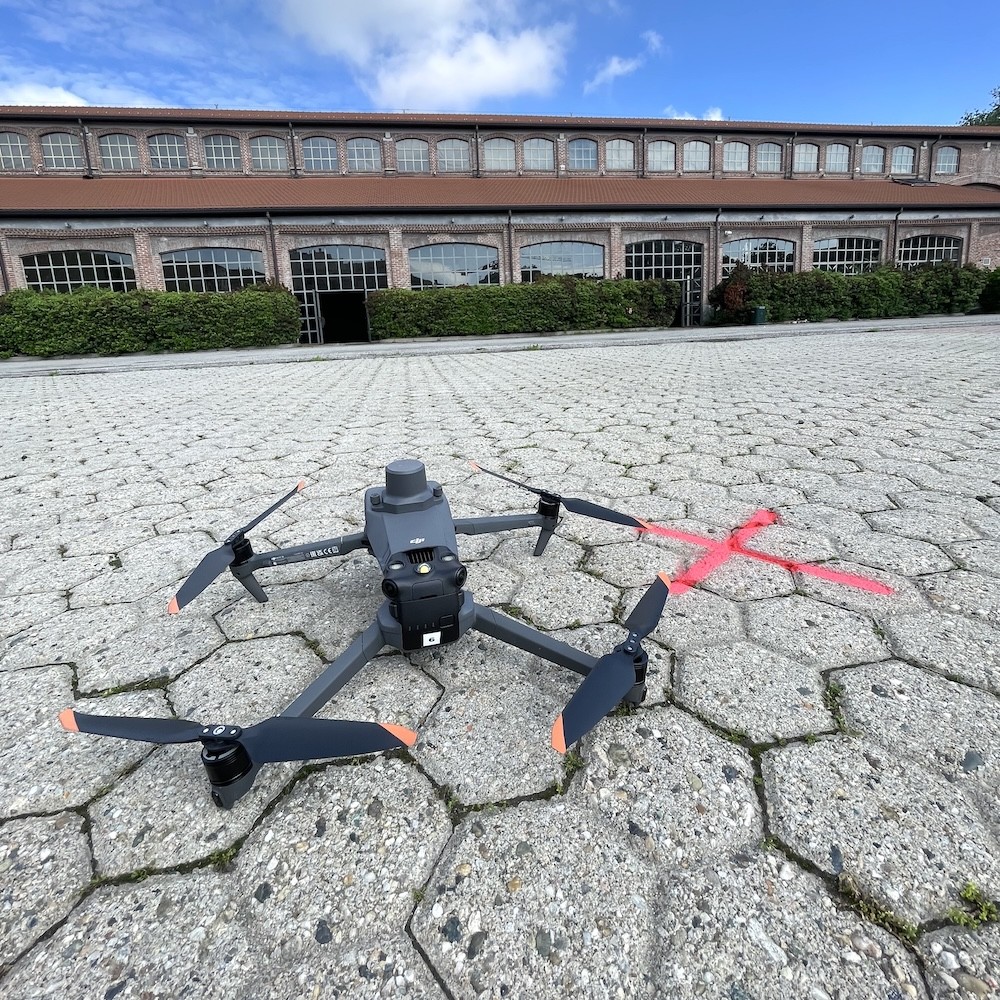
The Drone captures thousands of high-resolution georeferenced frames, covering everything that cannot be reached from ground level.

(such as flat and pitched rooftops, inner courtyards, upper façade sections facing private properties or screened by terraces)

Rilievo Architettonico mediante Drone e GNSS (Fabbrica del Vapore, Milano)
Architectural survey using Drone and GNSS (Fabbrica del Vapore, Milan)
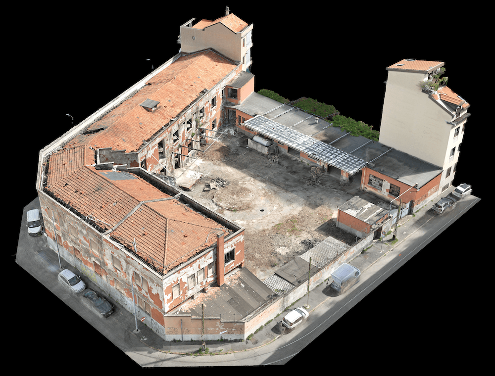
Rilievo Aerea di Riqualificazione Industriale (Milano)
Aerial survey of an industrial redevelopment area (Milan)
Dasù, Icona, Laser Scanner

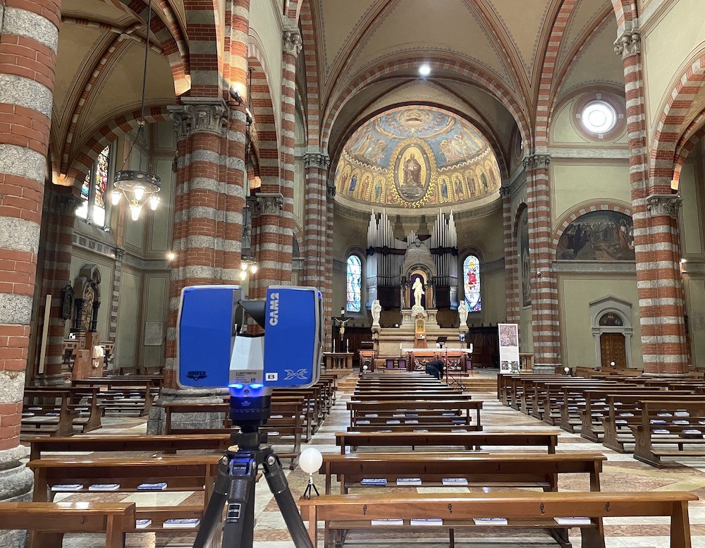
The Laser Scanner measures the building envelope with millimetre precision (±3-5 mm), capturing everything the drone cannot cover with the same accuracy.

(such as areas beneath overhangs, complex geometric details, ground-level elements and shadowed sections)

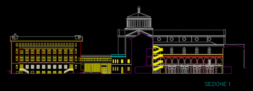
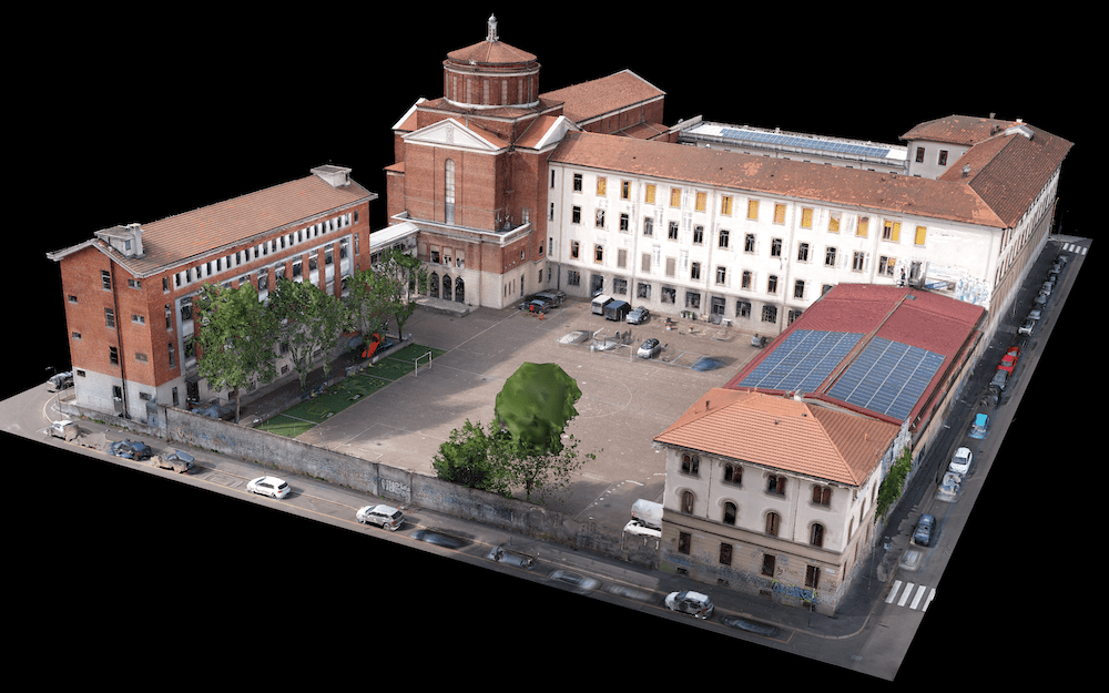
Rilievo con Drone, Stazione Totale e Laser Scanner (Chiesa del Santissimo Redentore, Milano)
Rilievo di Tetto e Sottotetto, con Drone e Laser Scanner (Ponte in Valtellina - SO)
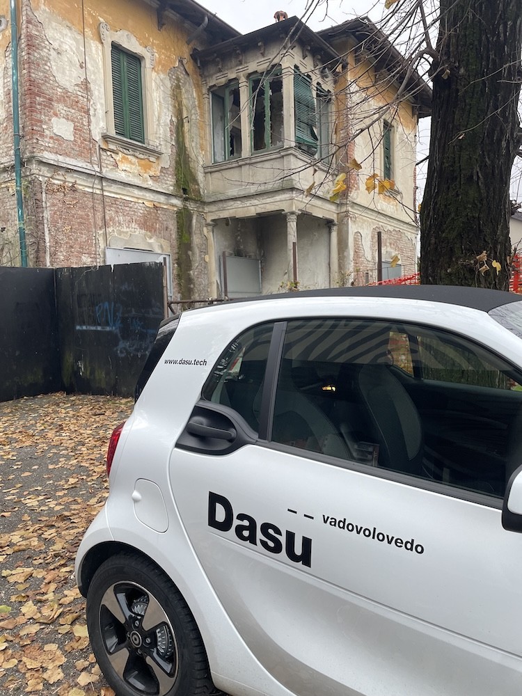
Rilievo con Drone e Laser Scanner di una Villa Storica a Cormano (MI)
Drone and Laser Scanner Survey of a Historic Villa in Cormano (MI)
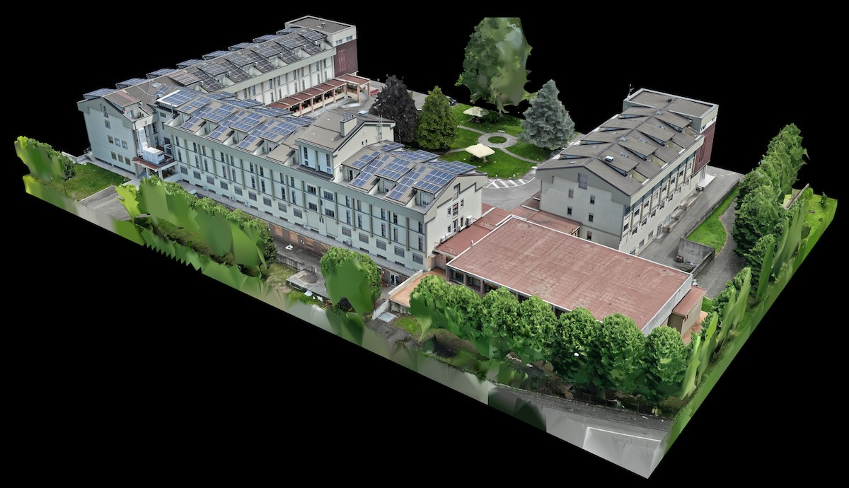
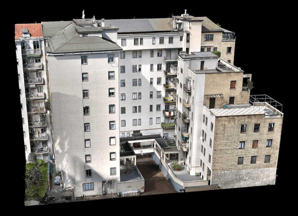
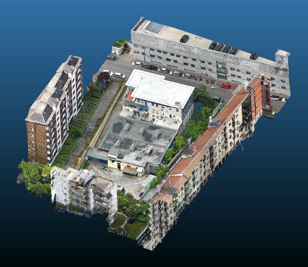
Rilievo di un Supercondominio con Drone e Laser Scanner (Roma)
Dasù, Icona, Elaborazione Structure from Motion

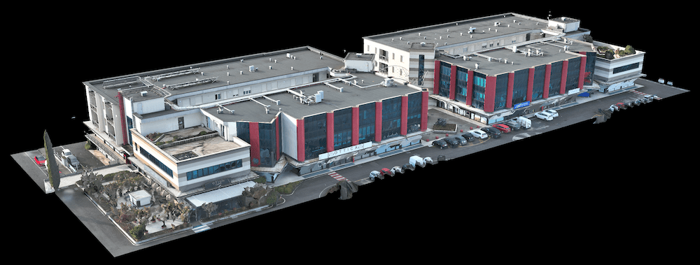
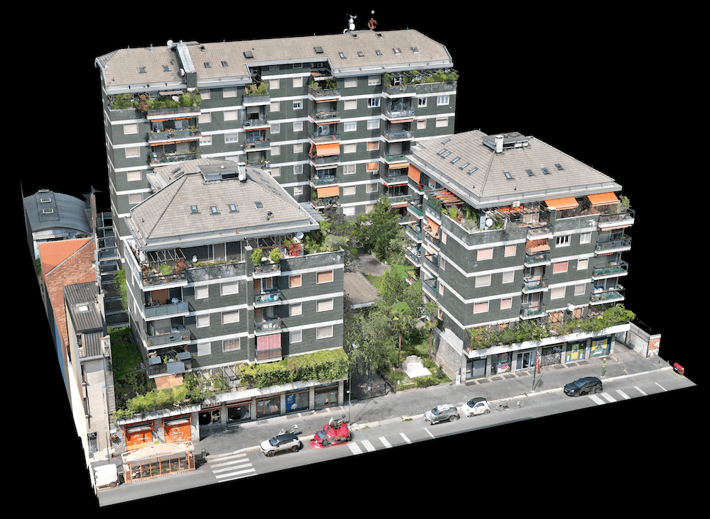
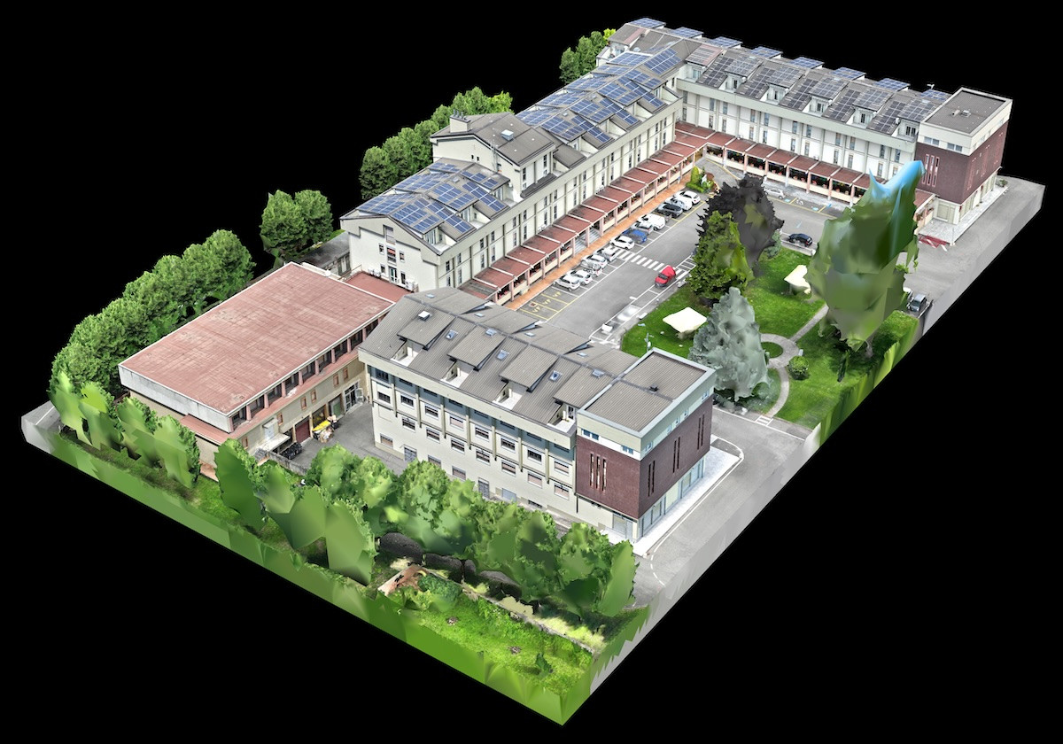
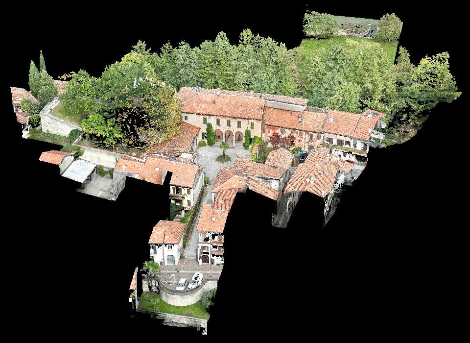
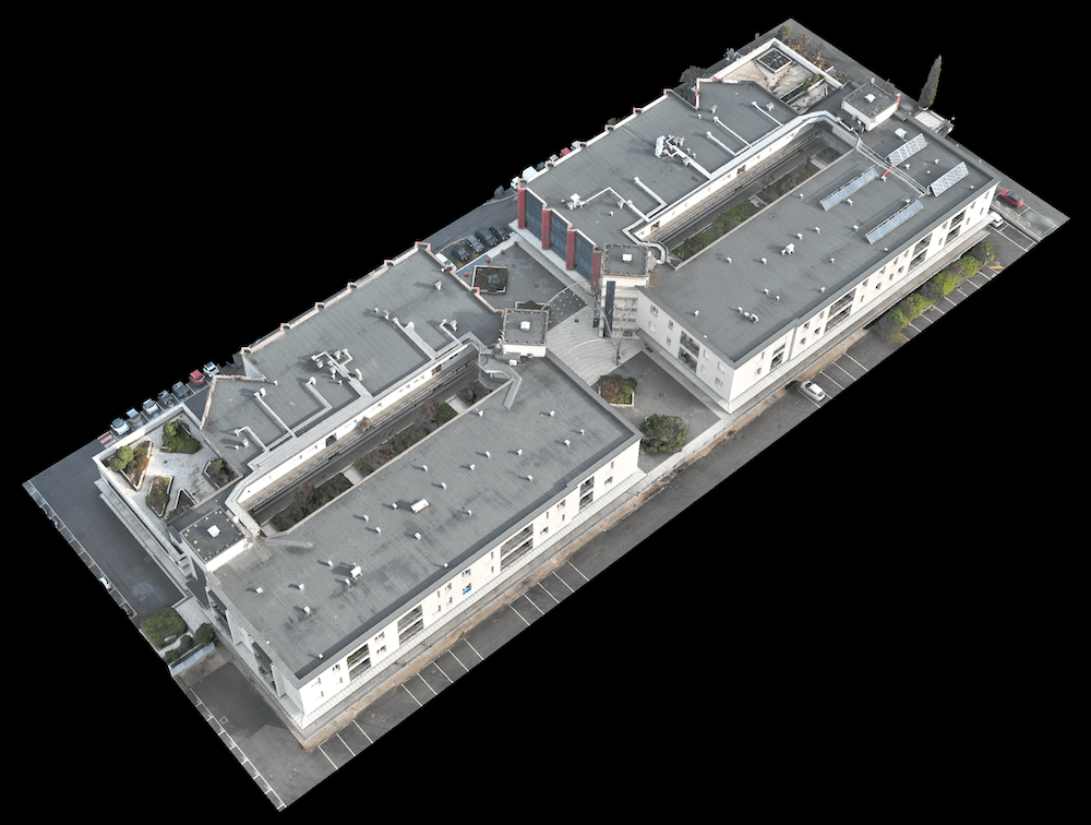
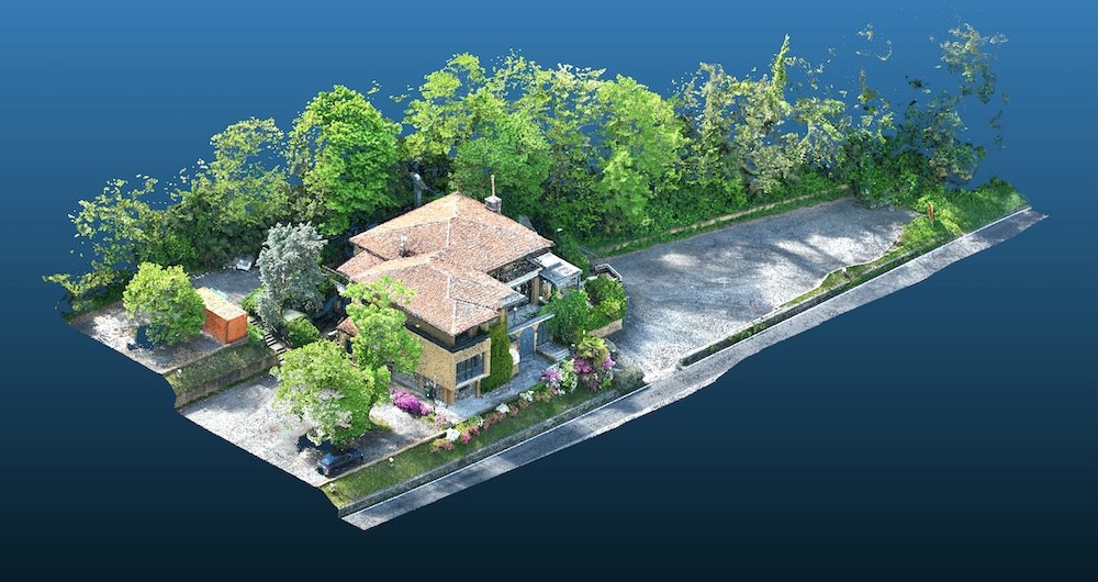
The drone and laser scanner datasets are merged in our office on dedicated workstations, generating a single georeferenced, full-colour 3D Point Cloud.

The process includes systematic cross-checks between the two datasets to verify measurement consistency and guarantee the client high levels of precision and accuracy.

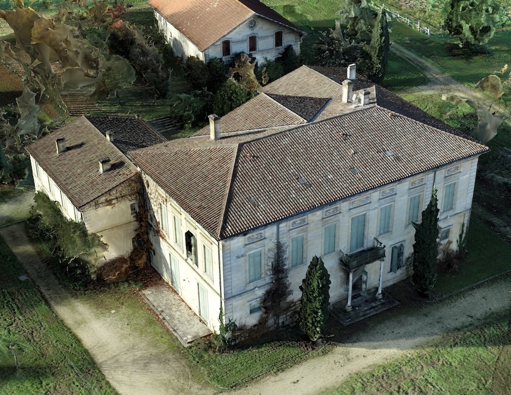
Rilievo di una villa storica, Château Rambaud
Integrated Survey of a Historic House (Château Rambaud, Génissac, France)
Alessandro Farina, Dasù srl, Rilievi con Droni
Site Survey with Drone (Milan)
Icona DWG (AutoCAD)

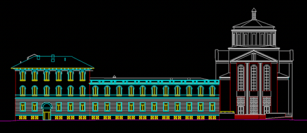
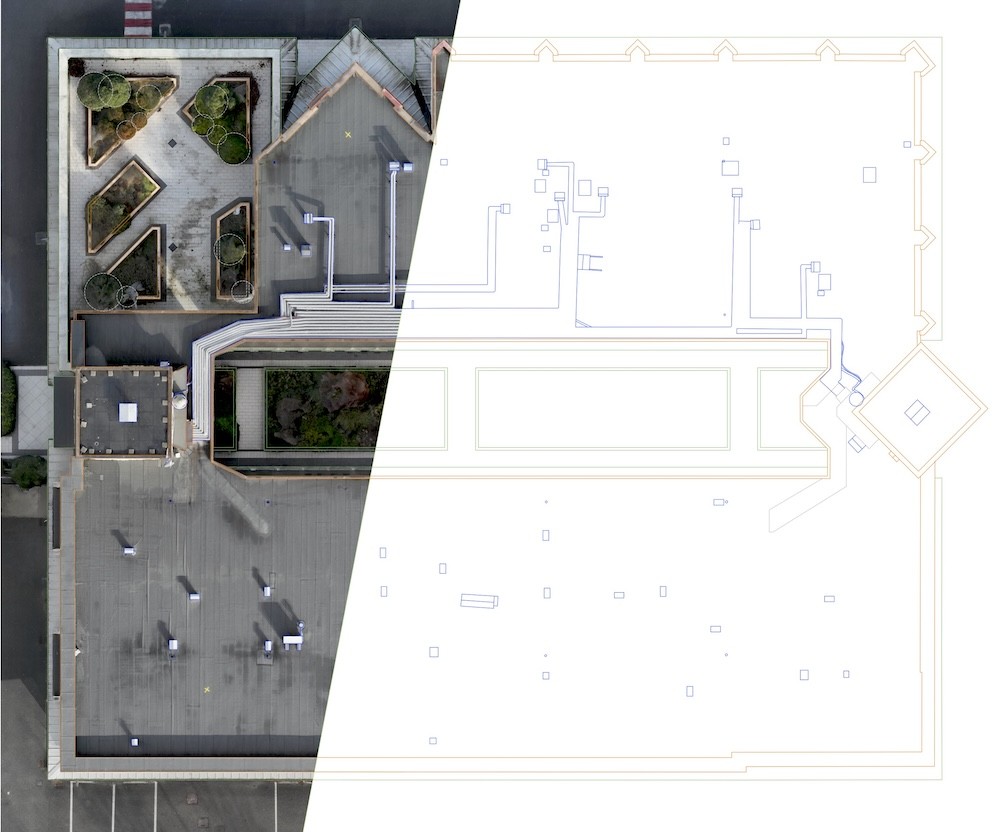
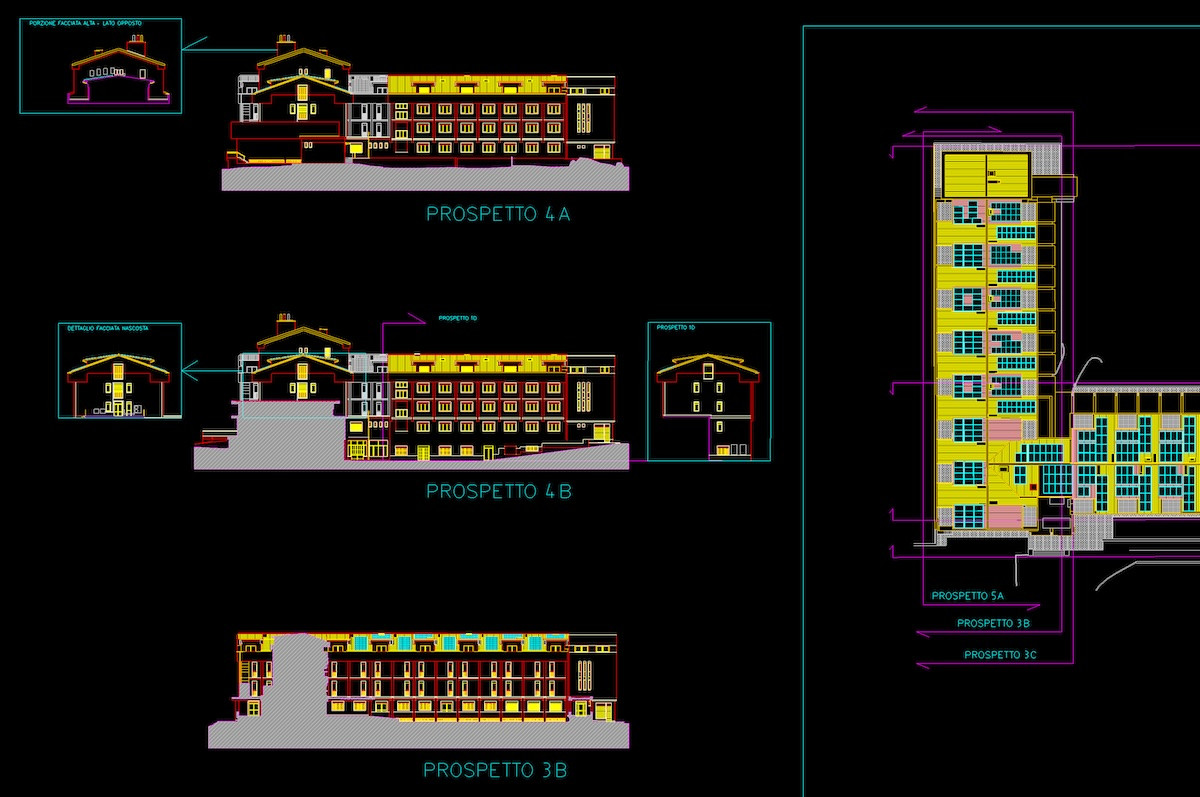
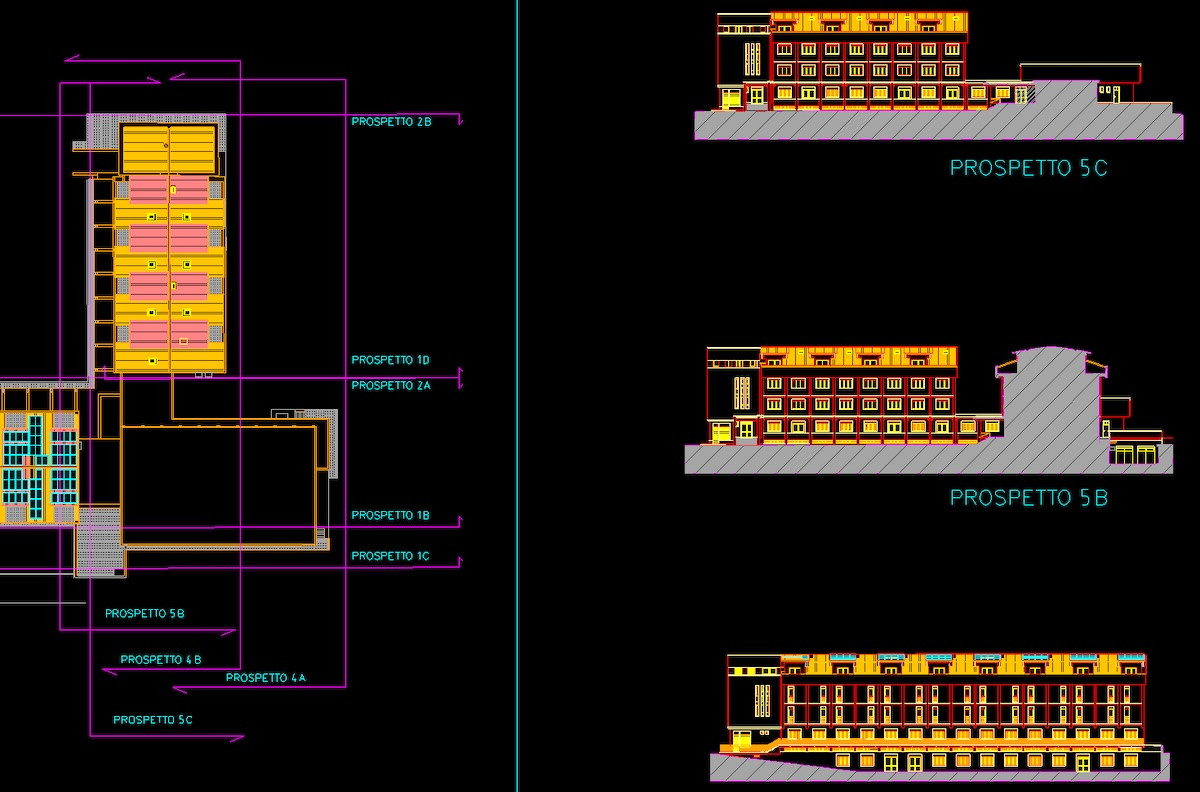
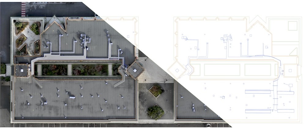
All data is delivered in the format required by the client: we can provide the survey as CAD drawings, with DWG files of plans, elevations and sections, compatible with any design software…

Rilievo Immobile e Proprietà con Drone (Arona - NO)
Rilievo con Drone, Stazione Totale e Laser Scanner (Chiesa del Santissimo Redentore, Milano)
Drone and Laser Scanner Survey (Church Santissimo Redentore, Milan)
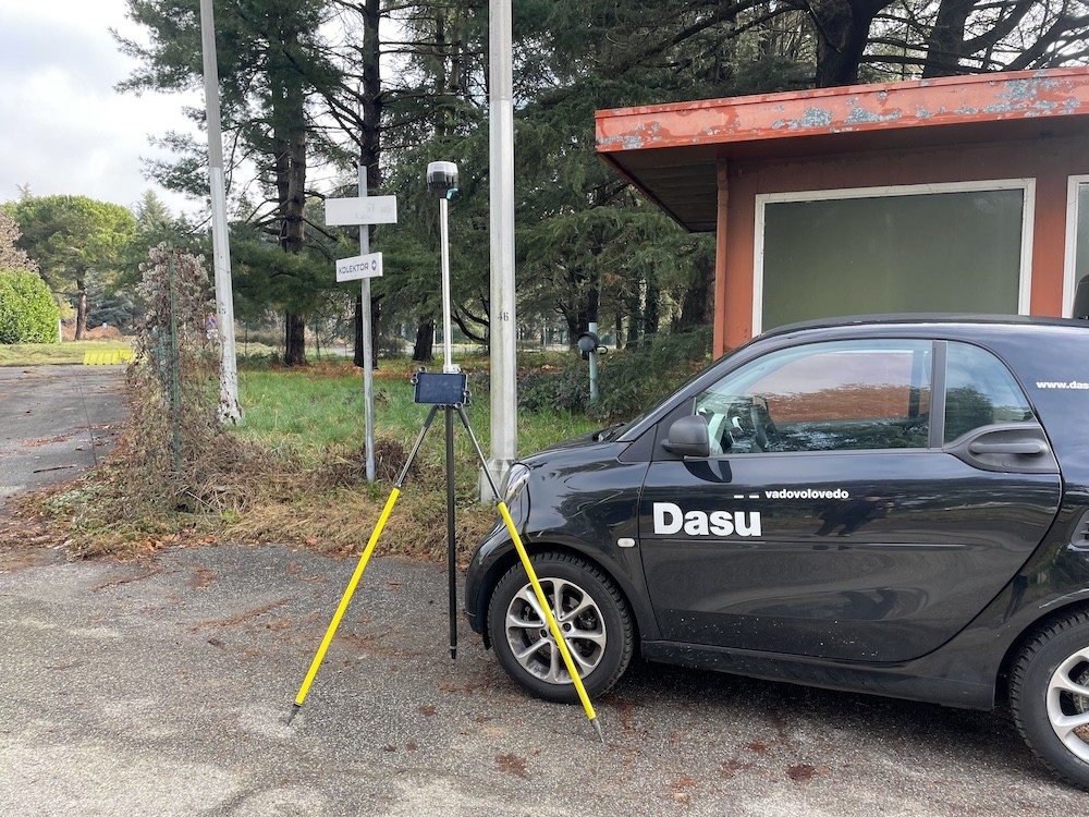
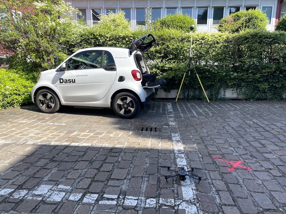
DasùMobile a Vimercate (MB) per un Rilievo con Drone
DasùMobile in Vimercate (MB) for a survey with drone
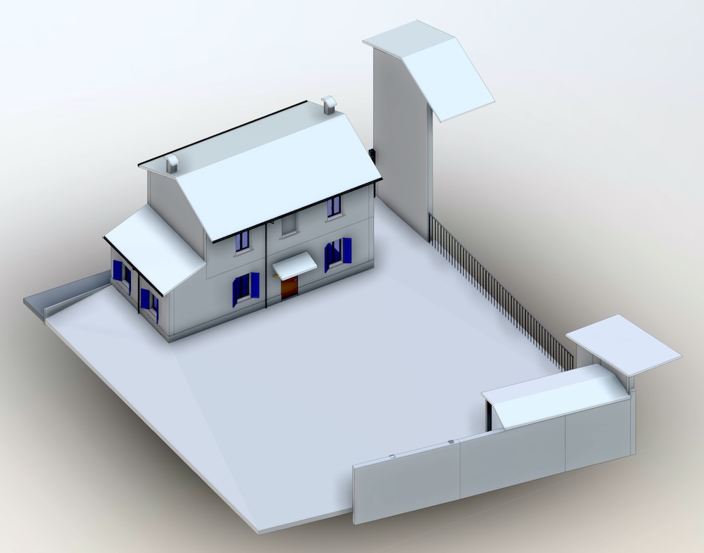
Rilievo BIM con Drone e Laser Scanner (Milano)
Icona RVT (Revit, BIM)
Icona IFC (BIM)

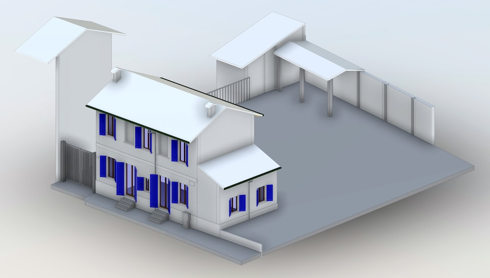
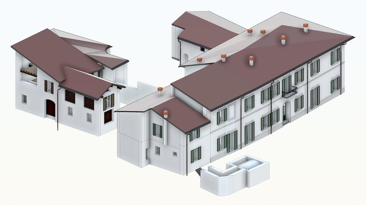
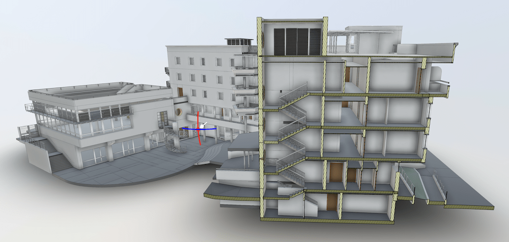
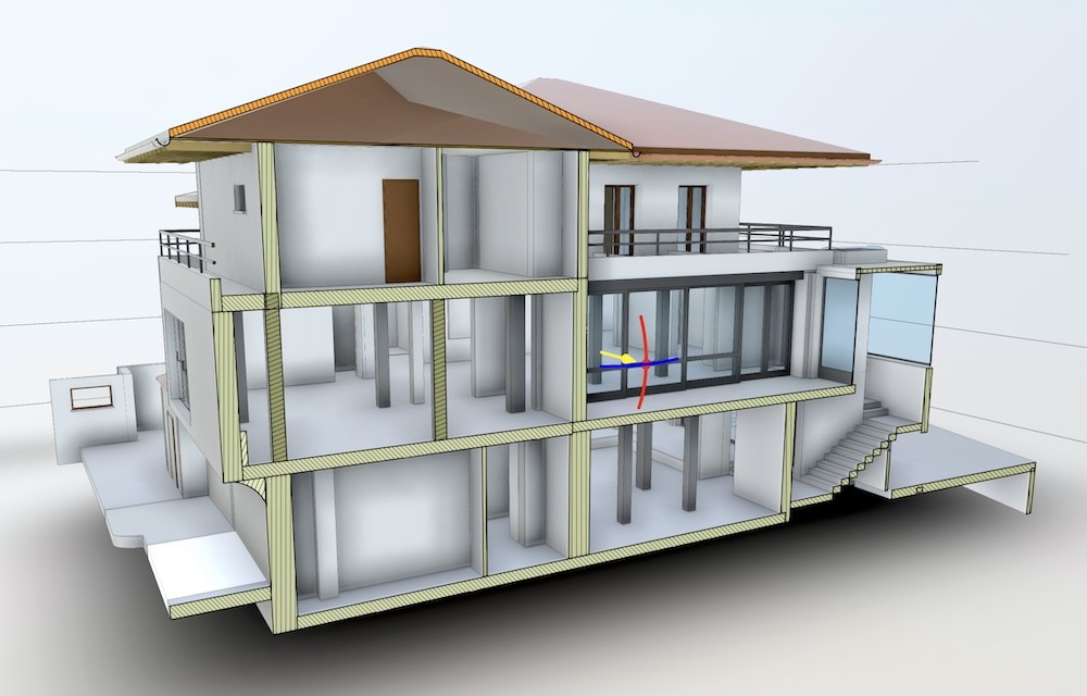
…or produce a complete BIM model of the building, in RVT or IFC format.

The model is developed to the level of detail (LOD) agreed with the client: native Revit format (RVT) or open IFC standard, compatible with any BIM authoring software.

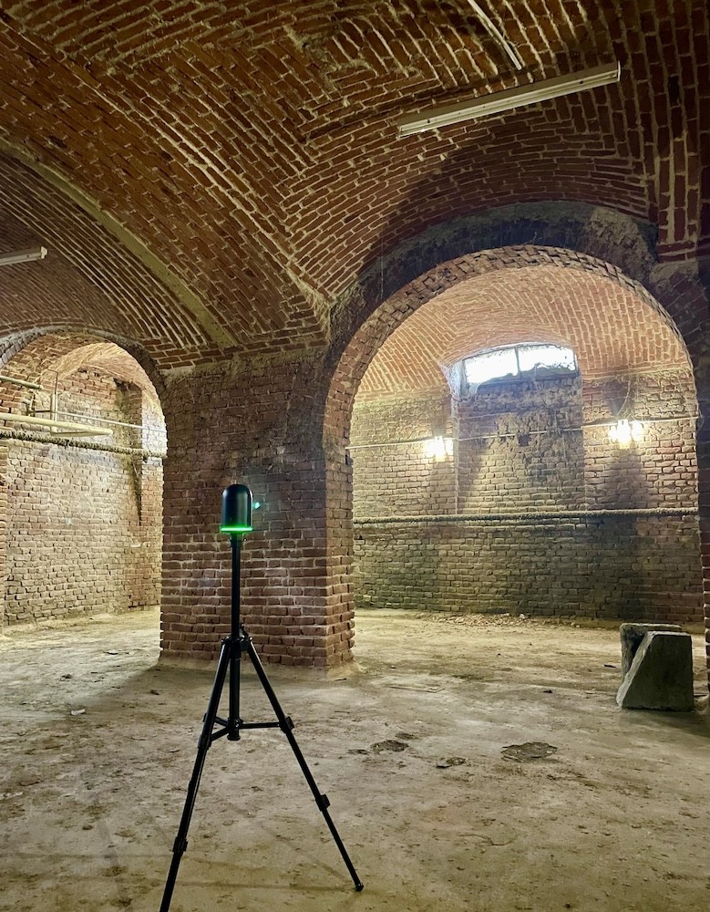
Rilievo con Laser Scanner di un antico sotterraneo (Pavia)
Survey with Laser Scanner of an ancient underground (Pavia)
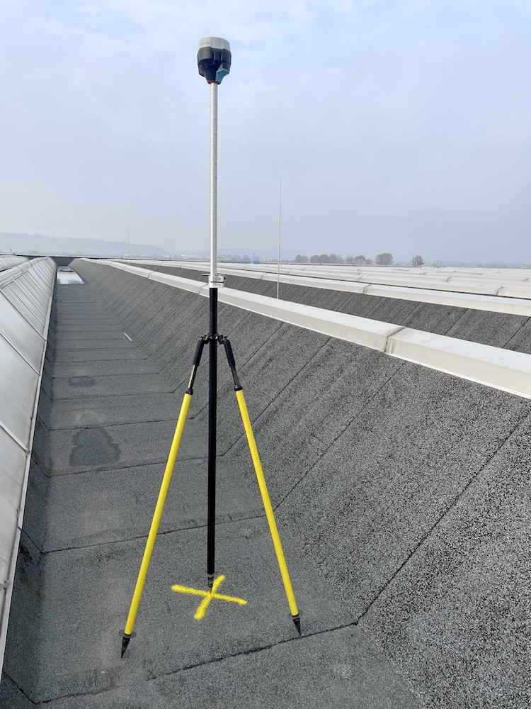
Rilievo Copertura con Drone e GNSS (Bussolengo - VR)
Roof Survey with Drone and GNSS (Bussolengo - VR)
Dasù, Icona, Cloud

All material is delivered via a dedicated download link, valid for 2 months, which the client can share with their entire team: architect, structural engineer, site manager.

Uffici Dasù (Milano, via Savona 123)
Rilievi in Cantiere con Laser Scanner (Tocqueville 13 - Milano), Alessandro Farina
Surveys on construction site with Laser Scanner (Tocqueville 13 - Milan)
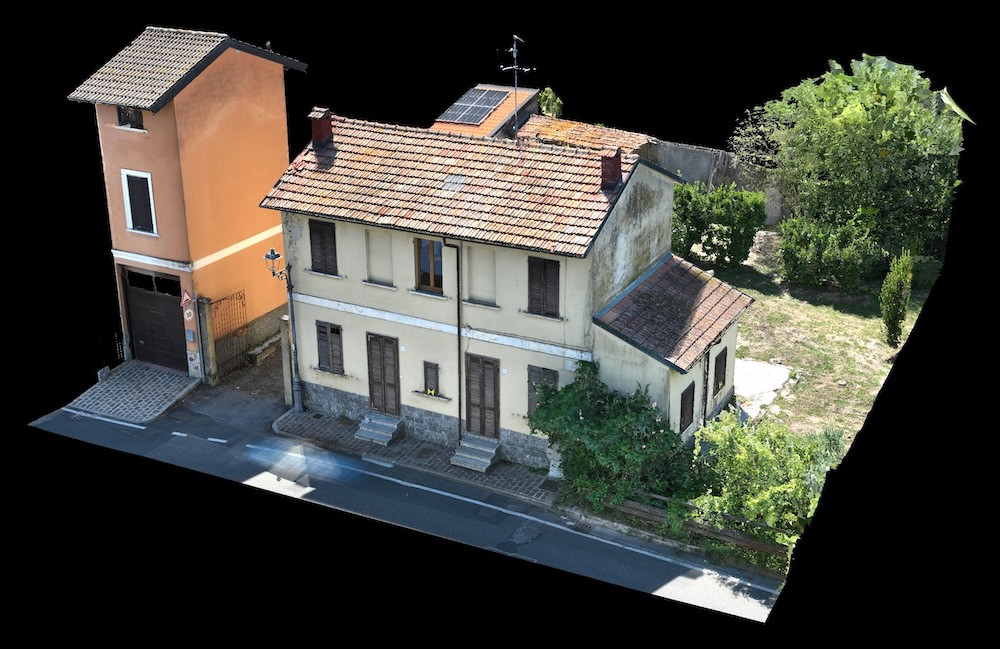
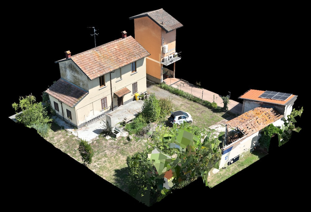
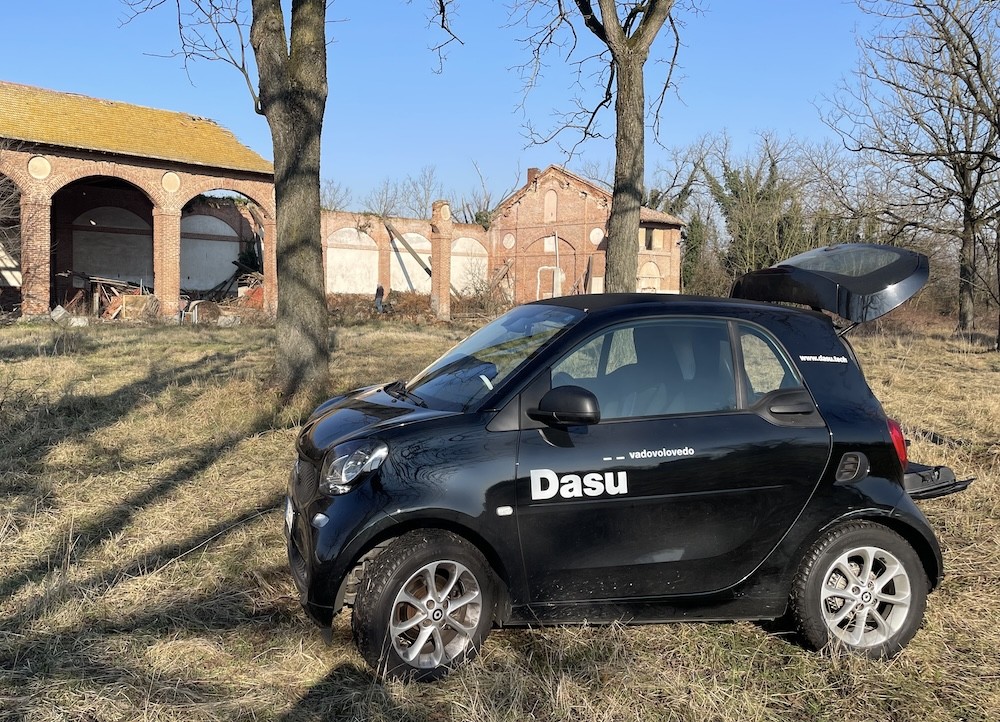
DasùMobile al Rilievo di una Cascina (Lacchiarella - MI)
DasùMobile at the Survey of a Farmhouse (Lacchiarella - MI)
Rilievo Immobile con Drone (Cinisello Balsamo - MI)
Drone Survey of a Building (Cinisello Balsamo, Milan)
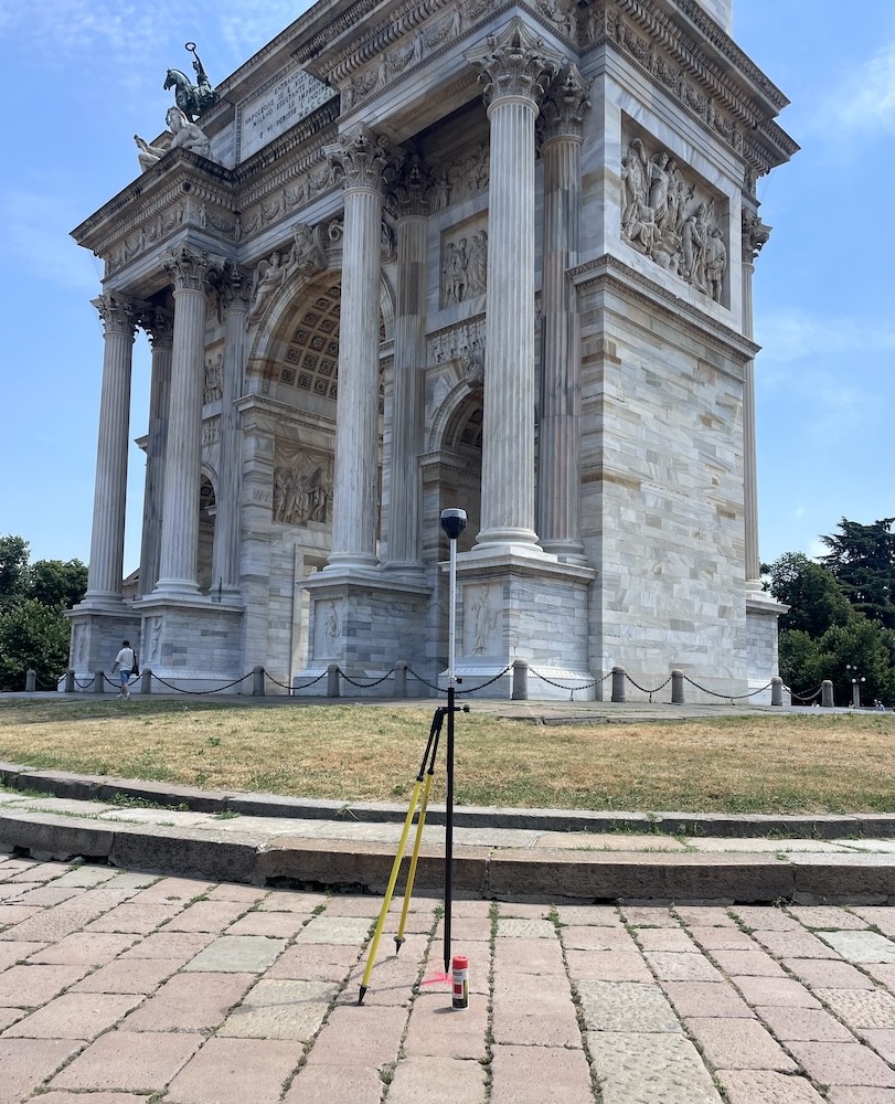
Rilievo Topografico Fotogrammetrico con Drone dell’Arco della Pace (Milano)
Photogrammetric Drone Survey of the Arco della Pace (Milan)

Who is this service for?

We work with architects, engineers and design practices who need an accurate as-built survey before designing a renovation, extension, change of use or works under Italian tax incentive schemes. A precise survey is the starting point of any project on existing buildings: any approximation at the beginning multiplies downstream.

We work with surveyors and technical offices who need to document the existing state for building permit applications, cadastral updates, compliance checks or pre-purchase due diligence. Buildings with no updated documentation, unreliable historic drawings or inaccessible sections are exactly the context where our method makes the difference.

We work with construction companies and contracting authorities that need accurate as-built drawings before starting a project, or that must produce BIM-compliant documentation for public contracts above €2 million under the Italian Public Procurement Code.

We work with facility managers and property managers overseeing large real estate portfolios who need a reliable, up-to-date as-built record as the basis for planned maintenance, building documentation or BIM-based asset management.

We work with real estate funds, SGRs and technical experts who need to document the actual condition of an asset for due diligence, valuations or technical disputes.

Dasù, Icona, FAQ

Are flight authorisations required?

It depends on the location. In many areas yes, in Milan always. Authorisations are requested from ENAC, the Prefecture or the relevant airspace authority, with processing times ranging from 3 to 15 working days. Our office manages the entire authorisation process before the intervention: the client does not need to handle anything. All flight operations are carried out exclusively where permitted by current regulations or following authorisation from the competent authority.

Does the building need to be vacated or activities interrupted?

No. Surveys are carried out without interrupting activities and without requiring access to flats, offices or interior spaces. The drone operates outside the building. Occupants do not need to be present, do not need to clear any spaces and experience no operational disruption. It is sufficient to ensure access to the external areas — courtyard, vehicle entrance, take-off area — which we define together during the planning phase.

Why do you use both the drone and the laser scanner? Is one not enough?

The drone and the laser scanner capture different, non-interchangeable surfaces. The drone sees everything at height or unreachable from ground level: rooftops, upper façades, inner courtyards. The laser scanner measures with millimetre precision everything the drone cannot capture with the same accuracy: geometric details, shadowed zones, ground-level elements. Using either one alone produces an incomplete point cloud. Integrated in a single campaign, they cover the entire building envelope without blind spots.

What level of precision and accuracy do your surveys achieve?

The geometric precision of the laser scanner is in the order of ±3–5 mm on direct measurements. Drone photogrammetry with georeferencing achieves relative accuracy below 2 cm. The exact values depend on the operational context, acquisition distance and survey objectives, and are defined and documented during the planning phase. In all cases, the result is a metrically verifiable point cloud, not an estimate.

Does the survey include interiors?

The core service covers the external envelope. On request, we also carry out interior surveys using the laser scanner, integrated with the external campaign into a single georeferenced point cloud. In this case, physical access to the rooms is required. The combination of exterior drone survey and interior laser scanning produces a complete 3D model of the building, ideal for complex renovations, seismic upgrades or BIM modelling at higher LOD levels.

At what LOD do you deliver the BIM model?

The level of detail (LOD) is agreed with the client during the planning phase, in compliance with the Italian standard UNI 11337. We work at LOD 200, LOD 300 and higher levels depending on the project requirements. The model is delivered in native Revit format (RVT) or open IFC format, compatible with any BIM authoring software: ArchiCAD, Allplan, Vectorworks and others. We always provide documentation of the agreed LOD table.

Can I use the survey for a building permit application or a property due diligence?

Yes. The architectural survey with drone and laser scanner produces the technical drawings required for any building permit application: plans, elevations and sections in DWG format for permit submissions and cadastral updates. For property due diligence, the georeferenced point cloud provides verifiable, archivable technical documentation of the existing state. It is also the starting point for identifying planning discrepancies and preparing regularisation applications.

What is the difference between an architectural survey and a drone inspection?

They are services with different objectives. An architectural survey captures precise metric data of the building and produces measurable technical drawings: plans, elevations, sections, BIM model. The output is a technical document usable for design, documentation or permit applications. A drone aerial inspection produces visual documentation of the building’s condition: high-resolution images, video, anomaly reports. It does not produce measurements. Anyone looking for a “survey” to assess the condition of a façade is looking for an inspection, not a metric survey.

What are your turnaround times?

From the moment we carry out the field survey, we deliver the processed material within 10 working days. On-site survey times vary depending on the size and complexity of the building: a seven-storey residential block with three stairwells takes less than one day. Flight authorisation times — required in Milan and many urban areas — are additional and managed entirely by our office before the intervention.

What guarantees do you offer?

  • our Pilots are professionals holding a valid ENAC Specific Attestation (categories A1/A3, A2, STS01) with documented periodic training;
  • our drones are regularly registered with ENAC and covered by third-party liability insurance up to €6,500,000;
  • all flight operations are carried out exclusively where permitted by current regulations or following authorisation from the competent authority;
  • the activity is covered by an additional professional liability policy (up to €1,200,000).

Do you have any other questions?

We are available — you can contact us via WhatsApp or through the Contacts page.

Why Dasù?

🛡️ Public liability insurance (R.C.) for the exercise of our business activity (coverage limit € 1,200,000);

🛡️ Public liability insurance (R.C.) for our entire UAS (drone) fleet (coverage limit € 6,500,000);

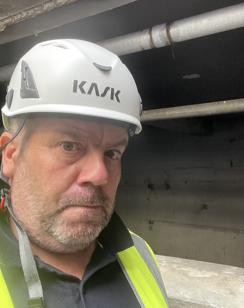
👨‍✈️ Professional, qualified Dasù pilots, under the operational direction and UAS coordination of pilot Alessandro Farina:
     ✓ more than 4,500 missions completed;
     ✓ “Open” certificate (A1/A3, A2) and “Specific” certificate (STS01, CRM, COM);
     ✓ GWO (WAH) certification for wind turbines;
     ✓ PPE-FALL certificate for the use of fall-protection PPE when working at height;
     ✓ Fire safety officer certificate;
     ✓ First aid officer certificate.

Architectural survey with drone and laser scanner:
what changes compared to traditional methods

Without the Drone

Traditional building survey requires: coordination with building managers and tenants to access individual flats, scaffolding or cherry picker hire for rooftops and upper façades, point-by-point measurement with total station or tape measure. On-site time for a seven-storey residential block with three stairwells: 3 to 4 days. Rooftops and upper façades are often estimated rather than measured. Missing measurements surface during CAD draughting, when returning to site costs twice as much. The result is a set of sampled points, not a continuous surface.

With the Drone

No access to flats — the survey is carried out from outside: no agreements with tenants, no building management bureaucracy, no disruption to occupants;

From days to hours — a seven-storey block with three stairwells surveyed in less than one day versus 3 to 4 days with traditional methods;

Complete coverage — upper façades, rooftops, inner courtyards and sections facing private properties: the drone reaches where no ground-level operator can;

Millimetre precision — laser scanner at ±3–5 mm on geometric measurements, drone photogrammetry with relative accuracy below 2 cm;

No return visits — the point cloud retains all measurements: dimensions can be extracted and geometries verified months after the survey, without returning to site;

BIM-ready — the integrated drone and laser scanner point cloud is the direct basis for Scan-to-BIM modelling in Revit (RVT) or IFC, at any LOD.

Last Updated: 25 June 2026

Let’s talk about your specific case

We can help you understand whether a drone and laser scanner survey is the right solution for your building or your project.

Start typing and press Enter to search

Shopping Cart